Lone Pine, California
Videos
Photos
Lone Pine is a census-designated place (CDP) in Inyo County, California, United States, located 16 mi (26 km) south-southeast of Independence at an elevation of 3,727 ft (1,136 m). The population was 2,035 at the 2010 census, up from 1,655 at the 2000 census. The town is located in the Owens Valley, near the Alabama Hills and Mount Whitney, between the eastern peaks of the Sierra Nevada to the west and the Inyo Mountains to the east. The local hospital, Southern Inyo Hospital, offers standby emergency services. The town is named after a solitary pine tree that once existed at the mouth of Lone Pine Canyon. On March 26, 1872, the very large Lone Pine earthquake destroyed most of the town and killed 27 of its 250 to 300 residents.

Main Street

Lone Pine Peak, just left of Mt. Whitney (high point in the distant center-left horizon) and the rest of the Sierra Nevada, dominates the views west of town

U.S. Route 395 makes up the main street in Lone Pine
Inyo County, California
Videos
Photos
Inyo County is a county in the eastern central part of the U.S. state of California, located between the Sierra Nevada and the state of Nevada. In the 2020 census, the population was 19,016. The county seat is Independence. Inyo County is on the east side of the Sierra Nevada and southeast of Yosemite National Park in Central California. It contains the Owens River Valley; it is flanked to the west by the Sierra Nevada and to the east by the White Mountains and the Inyo Mountains. With an area of 10,192 square miles (26,400 km2), Inyo is the second-largest county by area in California, after San Bernardino County. Almost one-half of that area is within Death Valley National Park. However, with a population density of 1.8 people per square mile, it also has the second-lowest population density in California, after Alpine County.

Wildflowers blooming in Death Valley after a wet winter

Owens Valley and the Sierra Escarpment
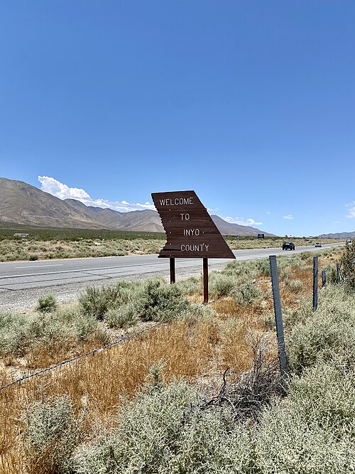
"Welcome to Inyo County" sign along U.S. Route 395

The Inyo County Court House in Independence