Lop Nur or Lop Nor is a now largely dried-up salt lake formerly located in the eastern fringe of the Tarim Basin in the southeastern portion of the Xinjiang Autonomous Region, northwestern China, between the Taklamakan and Kumtag deserts. Administratively, the lake is in Lop Nur town, also known as Luozhong of Ruoqiang County, which in its turn is part of the Bayingolin Mongol Autonomous Prefecture.
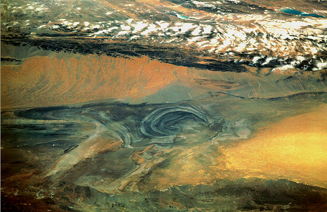
Satellite picture of the Basin of the former sea of Lop Nur; the concentric shorelines of the vanished lake are visible.
Mushroom cloud of the first Chinese nuclear weapon test, Project 596, at Lop Nur in 1964.
Mask from second millennium BCE
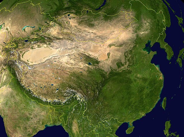
The Tarim Basin is an endorheic basin in Xinjiang, Northwestern China occupying an area of about 888,000 km2 (343,000 sq mi) and one of the largest basins in Northwest China. Located in China's Xinjiang region, it is sometimes used synonymously to refer to the southern half of the province, that is, Southern Xinjiang or Nanjiang, as opposed to the northern half of the province known as Dzungaria or Beijiang. Its northern boundary is the Tian Shan mountain range and its southern boundary is the Kunlun Mountains on the edge of the Tibetan Plateau. The Taklamakan Desert dominates much of the basin. The historical Uyghur name for the Tarim Basin is Altishahr, which means 'six cities' in Uyghur. The region was also called Little Bukhara or Little Bukharia.
Tarim Basin
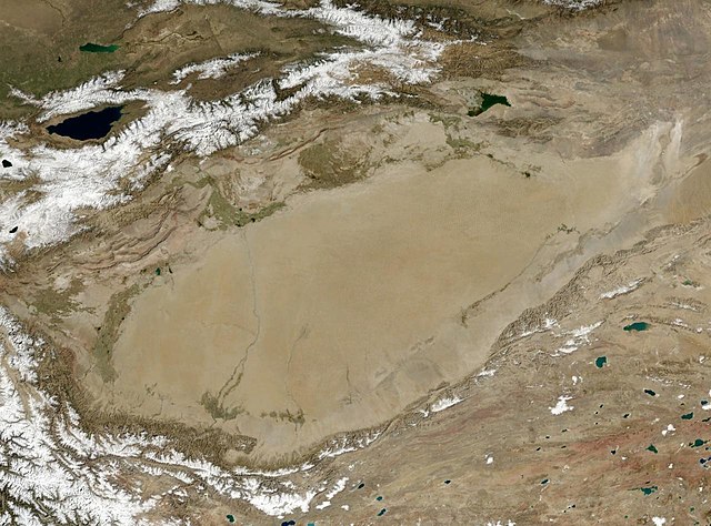
The Tarim Basin is the oval desert in Central Asia.
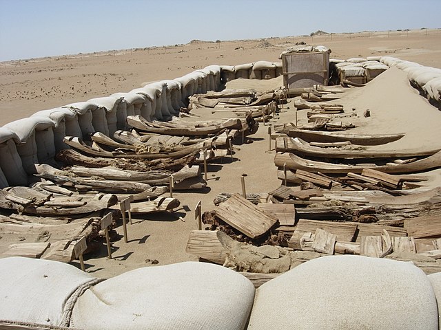
Tarim basin, ancient boat-shaped coffins
NASA landsat photo of the Tarim Basin


