Lower Salford Township, Pennsylvania
Lower Salford is a township in Montgomery County, Pennsylvania. It is located one mile west of the Lansdale exit of the Pennsylvania Turnpike. It is centered on the intersection of Route 63, and Route 113.
An old stone house in Lederach in Lower Salford Township
Barn at Heckler Farmstead
The Pennsylvania Turnpike Northeast Extension (I-476) southbound in Lower Salford Township
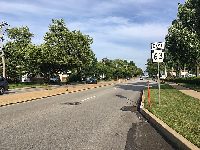
Pennsylvania Route 63 (PA 63) is a 37.4-mile-long (60.2 km) state highway located in the Philadelphia, Pennsylvania, area. The western terminus of the route is at PA 29 in Green Lane, Montgomery County. The eastern terminus is at Interstate 95 (I-95) in Bensalem Township, Bucks County. PA 63 runs northwest to southeast for most of its length. The route heads through a mix of suburban and rural areas of northern Montgomery County as a two-lane road, passing through Harleysville, before coming to an interchange with I-476 in Kulpsville. From this point, PA 63 continues through predominantly suburban areas of eastern Montgomery County as a two- to four-lane road, passing through Lansdale, Maple Glen, Willow Grove, and Huntingdon Valley. Upon entering Northeast Philadelphia, the route follows Red Lion Road and U.S. Route 1 (US 1) before heading southeast on a freeway called Woodhaven Road to I-95.
PA 63 westbound in Upper Salford Township
PA 63 westbound in Mainland
PA 63 westbound past North Wales Road in Lansdale
PA 63 eastbound in Willow Grove


