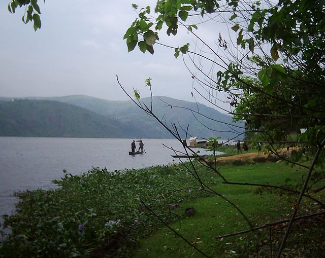
The Luapula River is a north-flowing river of central Africa, within the Congo River watershed. It rises in the wetlands of Lake Bangweulu (Zambia), which are fed by the Chambeshi River. The Luapula flows west then north, marking the border between Zambia and the Democratic Republic of the Congo before emptying into Lake Mweru. The river gives its name to Zambia's Luapula Province.
The Luapula (bottom) forms a swampy delta where it enters Lake Mweru (center, in black), as shown in this false-colour NASA satellite image. Blue lines mark the swamp and its islands (9, 10); a dotted line marks the river's floodplain (11). Red dots (1–8) are towns. See note for full legend.
The Congo River, formerly also known as the Zaire River, is the second-longest river in Africa, shorter only than the Nile, as well as the third-largest river in the world by discharge volume, following the Amazon and Ganges rivers. It is the world's deepest recorded river, with measured depths of around 220 m (720 ft). The Congo–Lualaba–Luvua–Luapula–Chambeshi River system has an overall length of 4,700 km (2,900 mi), which makes it the world's ninth-longest river. The Chambeshi is a tributary of the Lualaba River, and Lualaba is the name of the Congo River upstream of Boyoma Falls, extending for 1,800 km (1,100 mi).
The Congo River near Kisangani, Congo
Aerial view from the west of the Congo River with upstream half of Pool Malebo and Mbamu
The town of Mbandaka is a busy port on the banks of the Congo River.
The Congo River at Maluku.