Lucin Cutoff
Videos
The Lucin Cutoff is a 102-mile railroad line in Utah, United States that runs from Ogden to its namesake in Lucin. The most prominent feature of the cutoff was a twelve-mile-long railroad trestle cros
Aerial view of the Lucin Cutoff trestle before removal. The 1950s causeway is to the right of the trestle.


Lucin Cutoff (1903) compared to earlier Promontory Branch (1869). Drawn by Anan Raymond, 1981.

The line included a rail station called Mid Lake, which was in the middle of the Great Salt Lake.
Great Salt Lake
Videos
The Great Salt Lake is the largest saltwater lake in the Western Hemisphere and the eighth-largest terminal lake in the world. It lies in the northern part of the U.S. state of Utah and has a substant

Satellite photo from August 2018 after years of drought, reaching near-record lows. Note the difference in colors between the northern and southern portions of the lake, the result of a railroad causeway.
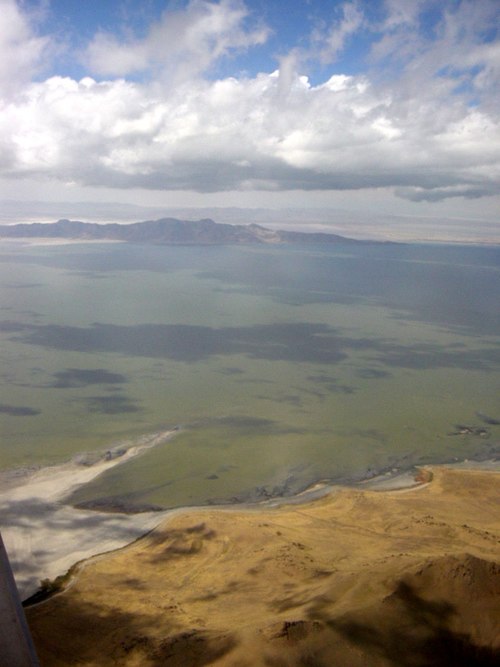
Great Salt Lake from airspace over Salt Lake City

Close-up satellite image from August 2018, showing the color difference at the causeway dividing the north and south portions of the lake.

Sunset viewed from White Rock Bay, on the western shore of Antelope Island. Carrington Island is visible in the distance.