Ludham is a village and civil parish in the English county of Norfolk, in the Norfolk Broads, at the end of a dyke leading to Womack Water and flowing into the River Thurne. It lies 1.5 miles (2.4 km) to the East of Ludham Bridge, which is on the River Ant.
It covers an area of 12.18 km2 (4.70 sq mi) and had a population of 1,301 in 582 households at the 2001 census, the population reducing to 1,278 at the 2011 census.
For the purposes of local government, it falls within the district of North Norfolk.
Ludham village sign
Ludham Hall on Johnson Street
The Broads is a network of mostly navigable rivers and lakes in the English counties of Norfolk and Suffolk. Although the terms "Norfolk Broads" and "Suffolk Broads" are correctly used to identify specific areas within the two counties respectively, the whole area is frequently referred to as the Norfolk Broads.
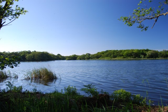
Ormesby Little Broad, part of the Norfolk Broads near Great Yarmouth
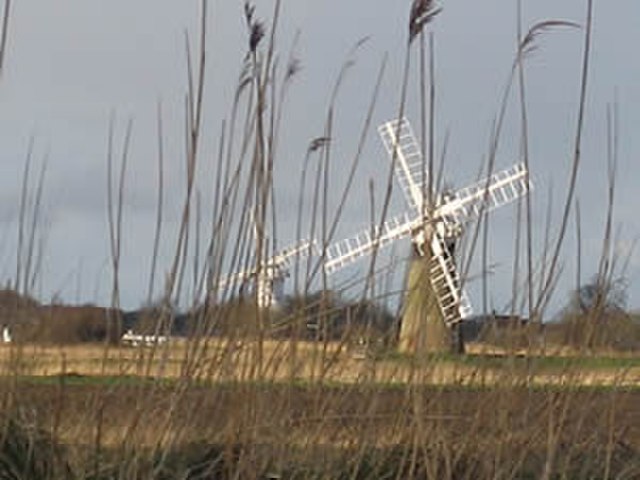
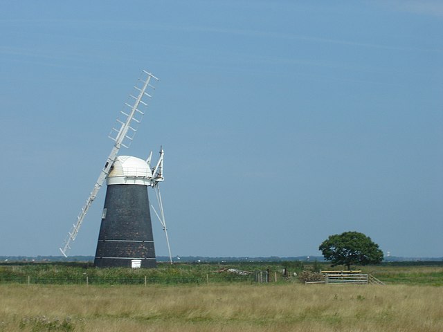
Drainage windmills on the Norfolk Broads
Muttons mill, one of the many historic drainage windpumps on the Norfolk Broads
The point at which the River Yare and the River Waveney merge into Breydon Water