Majorcan cartographic school
"Majorcan cartographic school" is the term coined by historians to refer to the collection of predominantly Jewish cartographers, cosmographers and navigational instrument-makers and some Christian associates that flourished in Majorca in the 13th, 14th and 15th centuries until the expulsion of the Jews. The label is usually inclusive of those who worked in Catalonia. The Majorcan school is frequently contrasted with the contemporary Italian cartography school.
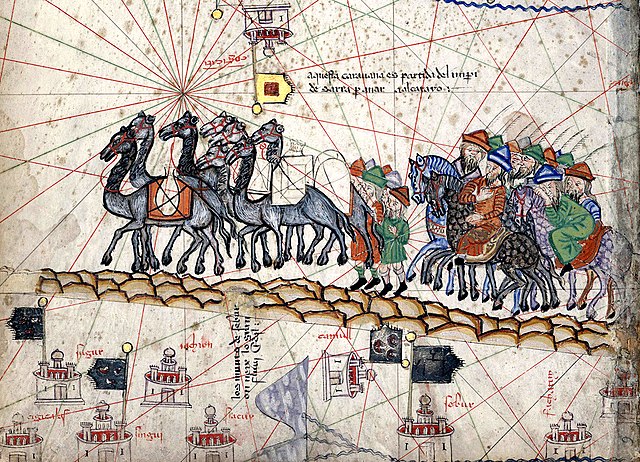
A part of the Catalan Atlas that was created by Majorca's cartographer Abraham Cresques in 1375
Marco Polo's caravan from the Catalan Atlas
Mallorca, or Majorca, is the largest island of the Balearic Islands, which are part of Spain, and the seventh largest island in the Mediterranean Sea.
Sentinel-2 image of Mallorca and Cabrera with enhanced natural colors
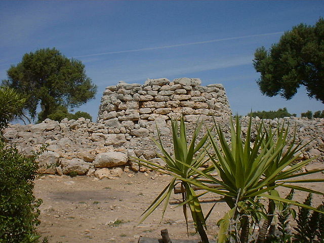
Example of prehistoric talaiot in Mallorca
Archeological evidence indicates the presence of the porc negre (black pig) in pre-Roman settlements.
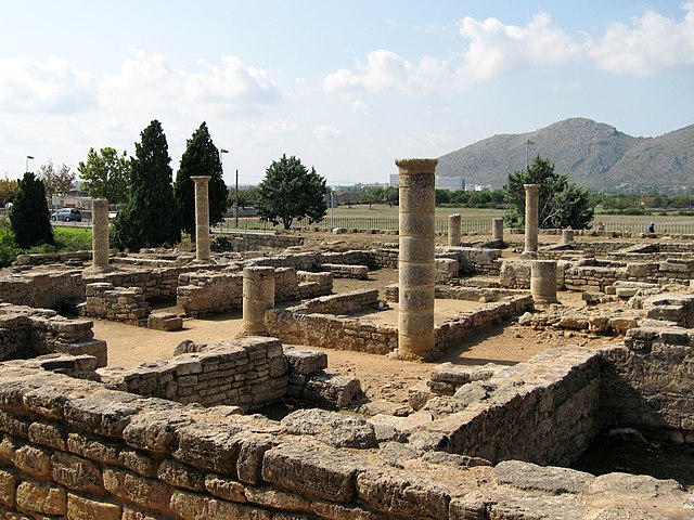
Ruins of the Roman city of Pollentia