The Malheur River is a 190-mile-long (306 km) tributary of the Snake River in eastern Oregon in the United States. It drains a high desert area, between the Harney Basin and the Blue Mountains and the Snake.
Malheur River flowing through Harney County
Bully Creek Dam in height perspective with human subjects
The Snake River is a major river in the interior Pacific Northwest region of the United States. About 1,080 miles (1,740 km) long, it is the largest tributary of the Columbia River, which is the largest North American river that empties into the Pacific Ocean. Beginning in Yellowstone National Park, western Wyoming, it flows across the arid Snake River Plain of southern Idaho, the rugged Hells Canyon on the borders of Idaho, Oregon and Washington, and finally the rolling Palouse Hills of southeast Washington. It joins the Columbia River just downstream from the Tri-Cities, Washington, in the southern Columbia Basin.
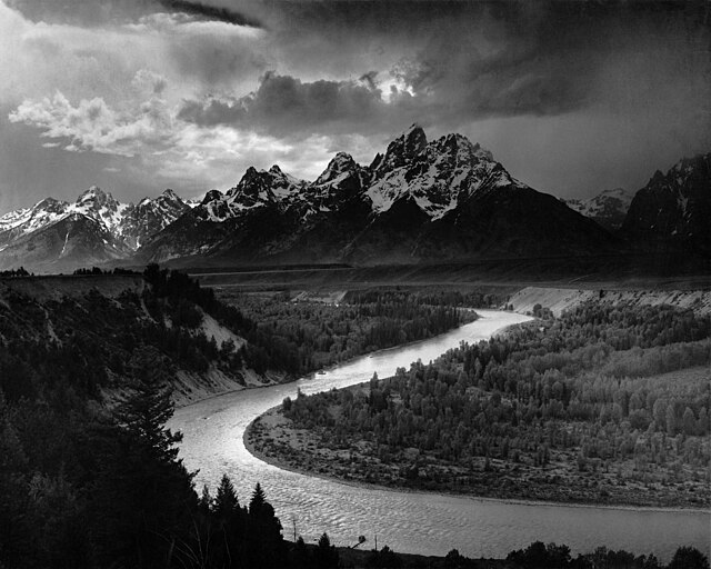
The Tetons and the Snake River (photographed by Ansel Adams, 1942), shows the Snake River in Jackson Hole, Wyoming
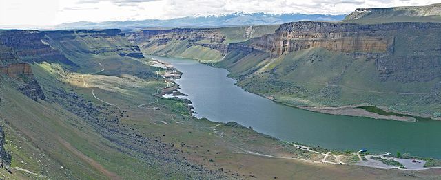
The Snake River flows through canyons in the Morley Nelson Snake River Birds of Prey National Conservation Area, south of Boise
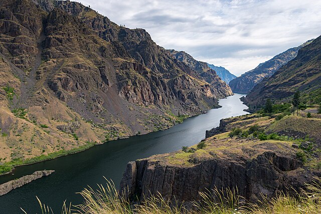
The Snake River in Hells Canyon
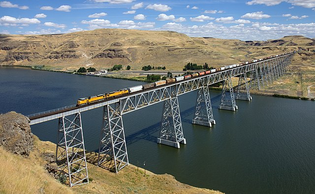
The Union Pacific Railroad crosses the lower Snake River via the Joso Bridge near Starbuck, Washington.


