The Snake River is a major river in the interior Pacific Northwest region of the United States. About 1,080 miles (1,740 km) long, it is the largest tributary of the Columbia River, which is the largest North American river that empties into the Pacific Ocean. Beginning in Yellowstone National Park, western Wyoming, it flows across the arid Snake River Plain of southern Idaho, the rugged Hells Canyon on the borders of Idaho, Oregon and Washington, and finally the rolling Palouse Hills of southeast Washington. It joins the Columbia River just downstream from the Tri-Cities, Washington, in the southern Columbia Basin.
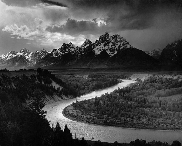
The Tetons and the Snake River (photographed by Ansel Adams, 1942), shows the Snake River in Jackson Hole, Wyoming
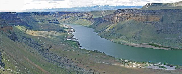
The Snake River flows through canyons in the Morley Nelson Snake River Birds of Prey National Conservation Area, south of Boise
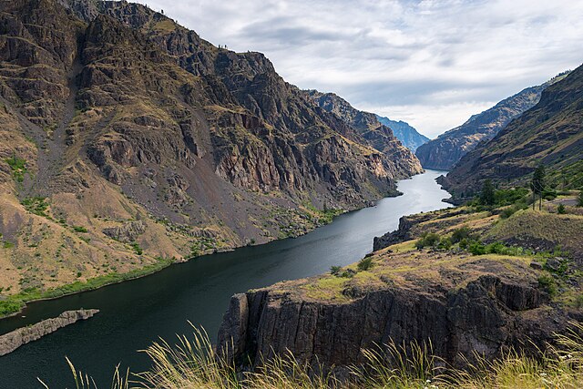
The Snake River in Hells Canyon
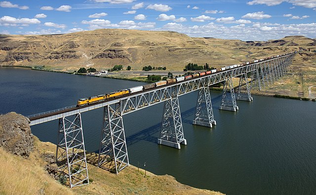
The Union Pacific Railroad crosses the lower Snake River via the Joso Bridge near Starbuck, Washington.
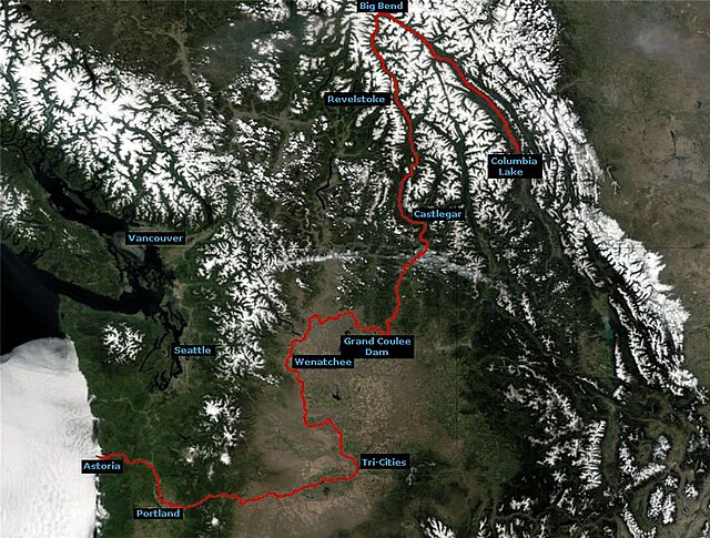
The Columbia River is the largest river in the Pacific Northwest region of North America. The river forms in the Rocky Mountains of British Columbia, Canada. It flows northwest and then south into the U.S. state of Washington, then turns west to form most of the border between Washington and the state of Oregon before emptying into the Pacific Ocean. The river is 1,243 miles long, and its largest tributary is the Snake River. Its drainage basin is roughly the size of France and extends into seven states of the United States and one Canadian province. The fourth-largest river in the United States by volume, the Columbia has the greatest flow of any river entering the Pacific outside of Asia, and the 36th greatest discharge of any river in the world.
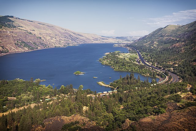
Columbia River from Rowena Crest with Interstate 84 on the right
Course of the Columbia River
The Columbia River Gorge facing east toward Beacon Rock
Drumheller Channels, part of the Channeled Scablands formed by the Missoula Floods

