Maryland Route 256 is a state highway in the U.S. state of Maryland. The highway runs 5.28 miles (8.50 km) from MD 2 at Tracys Landing east to MD 468 in Shady Side. MD 256 connects the aforementioned communities with Deale on the shore of Herring Bay in southern Anne Arundel County. The highway was constructed at either end in the mid-1920s and completed through Deale in the early 1930s.
View west along MD 256 in Deale
Maryland Route 2 is the longest state highway in the U.S. state of Maryland. The 79.24-mile (127.52 km) route runs from Solomons Island in Calvert County north to an intersection with U.S. Route 1 /US 40 Truck in Baltimore. The route runs concurrent with MD 4 through much of Calvert County along a four-lane divided highway known as Solomons Island Road, passing through rural areas as well as the communities of Lusby, Port Republic, Prince Frederick, and Huntingtown. In Sunderland, MD 2 splits from MD 4 and continues north as two-lane undivided Solomons Island Road into Anne Arundel County, still passing through rural areas. Upon reaching Annapolis, the route runs concurrent with US 50/US 301 to the north of the city. Between Annapolis and Baltimore, MD 2 runs along the Governor Ritchie Highway, a multilane divided highway that heads through suburban areas, passing through Arnold, Severna Park, Pasadena, Glen Burnie, and Brooklyn Park. In Baltimore, the route heads north on city streets and passes through the downtown area of the city.

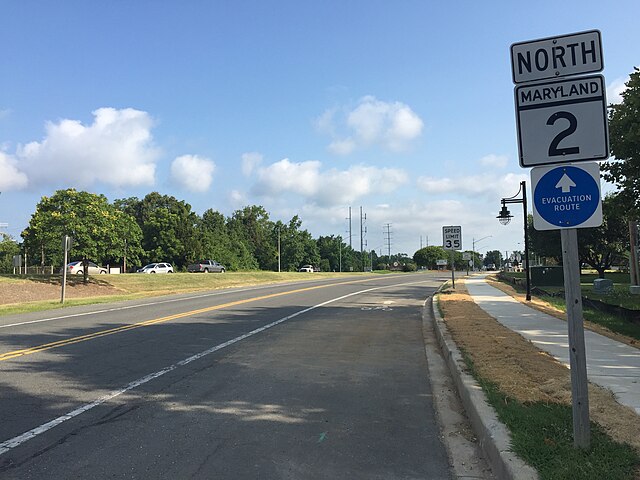
View north along MD 2 in Solomons, just before joining MD 4
MD 2/MD 4 southbound in Calvert County
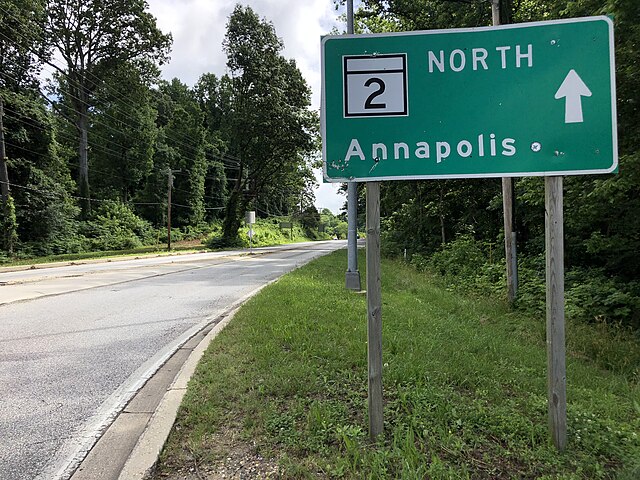
MD 2 northbound at Lothian roundabout with MD 408/MD 422
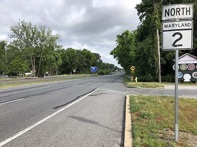
MD 2 northbound entering Severna Park


