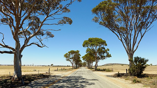
Merredin, Western Australia
Merredin is a town in Western Australia, located in the central Wheatbelt roughly midway between Perth and Kalgoorlie, on Route 94, Great Eastern Highway. It is located on the route of the Goldfields Water Supply Scheme, and as a result is also on the Golden Pipeline Heritage Trail.
Barrack Street, Merredin, 2013.
Rehabilitation project
China Southern West Australian Flying College, Merredin
Merredin Railway Water Tower and Great Eastern Highway
Wheatbelt (Western Australia)
The Wheatbelt is one of nine regions of Western Australia defined as administrative areas for the state's regional development, and a vernacular term for the area converted to agriculture during colonisation. It partially surrounds the Perth metropolitan area, extending north from Perth to the Mid West region, and east to the Goldfields–Esperance region. It is bordered to the south by the South West and Great Southern regions, and to the west by the Indian Ocean, the Perth metropolitan area, and the Peel region. Altogether, it has an area of 154,862 square kilometres (59,793 sq mi).
Grain receival and storage facility at Yealering
Land degradation caused by excessive clearing with resulting salinity, near Babakin
Bencubbin–Kellerberrin Road
Wheat growing north-east of Northam


