Mexican Federal Highway 2
Federal Highway 2 is a free part of the Mexican federal highway corridors that runs along the U.S. border. The highway is in two separate improved segments, starting in the west at Tijuana, Baja California, on the Pacific coast and ending in the east in Matamoros, Tamaulipas, on the Gulf of Mexico. Fed. 2 passes through the border states of Baja California, Sonora, Chihuahua, Coahuila, Nuevo Leon and Tamaulipas. It has a total length of 1,987 kilometres (1,235 mi); 1,343 kilometres (835 mi) in the west and 644 kilometres (400 mi) in the east.
Eastbound Fed. 2 just outside Altar, Sonora, after a summer rain
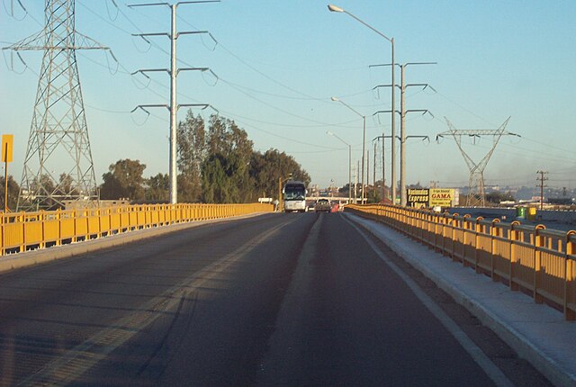
Colorado Bridge, a toll bridge over the Colorado River connecting the states of Baja California and Sonora
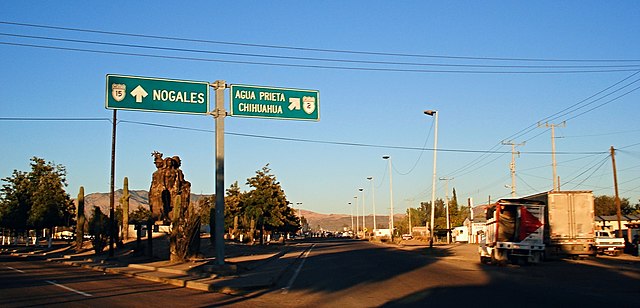
The junction between Federal Highways 2 and 15 in rural Imuris, Sonora. Fed. 2 travels east towards Agua Prieta and Ciudad Juarez while Fed. 15 continues northward towards the U.S.-Mexican border crossing in Heroica Nogales, Sonora.
Mexicali is the capital city of the Mexican state of Baja California. The city, which is the seat of the Mexicali Municipality, has a population of 689,775, according to the 2010 census, while the Calexico–Mexicali metropolitan area is home to 1,000,000 inhabitants on both sides of the Mexico–United States border. Mexicali is a regional economic and cultural hub for the border region of The Californias.
Image: Rectoria uabc (cropped)
Image: Plaza Calafia panoramio rocksas (cropped)
Image: Catedral de Mexicali (Nuestra Señora de Guadalupe) Mexicali,Estado de Baja California Norte,México (6105030116)
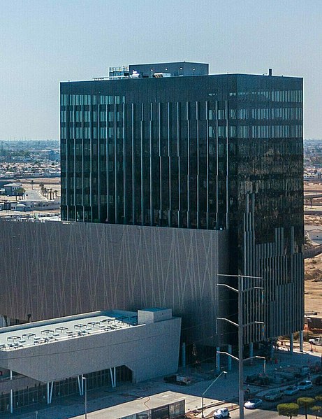
Image: Avance de Punta Este Corporativo en Agosto 2018 (cropped)


