Middle Fork Willamette River
The Middle Fork Willamette River is one of several forks that unite to form the Willamette River in the western part of the U.S. state of Oregon. It is approximately 115 miles (185 km) long, draining an area of the Cascade Range southeast of Eugene, which is at the southern end of the Willamette Valley.
Middle Fork Willamette River
The Willamette River is a major tributary of the Columbia River, accounting for 12 to 15 percent of the Columbia's flow. The Willamette's main stem is 187 miles (301 km) long, lying entirely in northwestern Oregon in the United States. Flowing northward between the Oregon Coast Range and the Cascade Range, the river and its tributaries form the Willamette Valley, a basin that contains two-thirds of Oregon's population, including the state capital, Salem, and the state's largest city, Portland, which surrounds the Willamette's mouth at the Columbia.
The Willamette passing through Downtown Portland in the 1980s
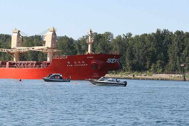
Ocean-going cargo ship anchored at the mouth of the Willamette
The Multnomah Channel from the Sauvie Island Bridge
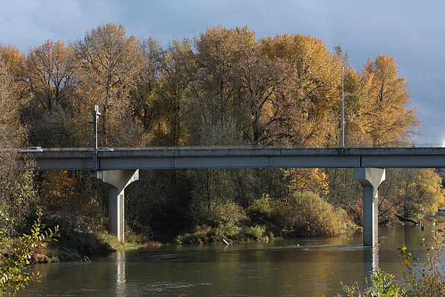
The Oregon Route 34 bridge across the Willamette River at Corvallis is a mid-valley highway crossing.