The Milton Keynes urban area or Milton Keynes Built-up Area is a designation established by the United Kingdom's Office for National Statistics. Milton Keynes has no statutory boundary: the 1967 designated area only determined the area assigned to the Milton Keynes Development Corporation for development. The wider urban area outside that designation includes Newport Pagnell and Woburn Sands as well as Aspley Guise (Bedfordshire) and part of Stoke Hammond civil parish.
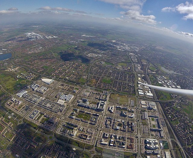
Central Milton Keynes from the air, looking south. The West Coast Main Line and the A5 mark the right of the picture, Campbell Park and Willen Lake are to the left. Stadium MK and Bletchley are at the top of the picture.
Milton Keynes is a city in Buckinghamshire, England, about 50 miles (80 km) north-west of London. At the 2021 Census, the population of its urban area was 264,349. The River Great Ouse forms the northern boundary of the urban area; a tributary, the River Ouzel, meanders through its linear parks and balancing lakes. Approximately 25% of the urban area is parkland or woodland and includes two Sites of Special Scientific Interest (SSSIs).
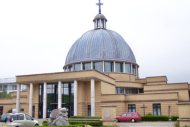
Image: Milton Keynes Christthe Cornerstone 01
Image: Peace Pagoda geograph.org.uk 340248
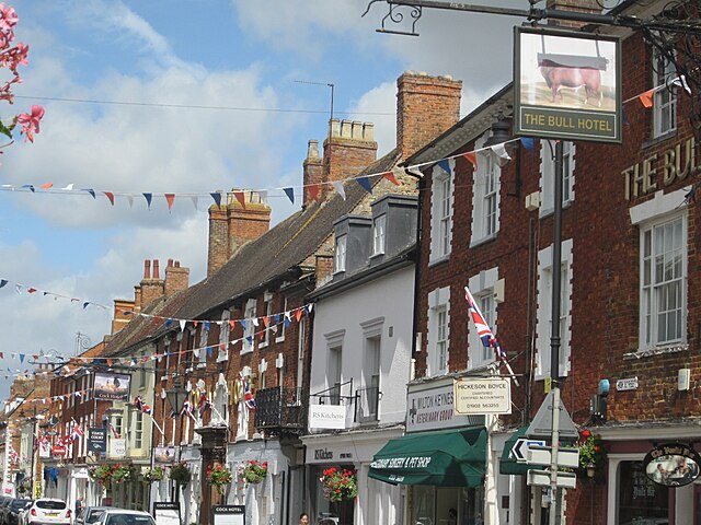
Image: Stony Stratford the Cock and the Bull
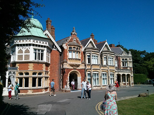
Image: Bletchley Park House geograph.org.uk 3563770


