Te Motu Kairangi / Miramar Peninsula is a large peninsula on the southeastern side of the city of Wellington, New Zealand. It is located at the entrance to Wellington Harbour, in Wellington's eastern suburbs. According to Māori legend, it was formed when the taniwha Whaitaitai beached as he tried to escape the confines of the harbour. It contains the suburbs of Miramar, Seatoun, Strathmore Park, and Karaka Bays.
Wellington Airport in centre, with Miramar Peninsula beyond.
View of Miramar Peninsula from the peak of Mount Kaukau
'Wellington Blown Away' sign near the Cutting.
Landing chart for Rongotai Aerodrome in 1954
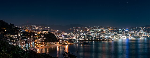
Wellington is the capital city of New Zealand. It is located at the south-western tip of the North Island, between Cook Strait and the Remutaka Range. Wellington is the third-largest city in New Zealand, and is the administrative centre of the Wellington Region. It is the world's southernmost capital of a sovereign state. Wellington features a temperate maritime climate, and is the world's windiest city by average wind speed.
Image: City Lights (33522578970)
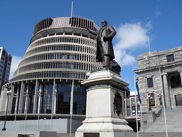
Image: Beehive Building Wellington New Zealand
Image: 20170409 Zealandia 013 Pano
Image: Langham Private Hotel 002


