Moeraki is a small fishing village on the east coast of the South Island of New Zealand. It was once the location of a whaling station. In the 1870s, local interests believed it could become the main port for the north Otago area and a railway line, the Moeraki Branch, was built to the settlement and opened in 1877. However, the port could not compete with Oamaru and the lack of traffic as well as stability problems caused by difficult terrain led to the closure of the railway in 1879 after only two years' operation.
View from Moeraki Esplanade Reserve in 2009
The bay at Moeraki showing fishing boats
Otago is a region of New Zealand located in the southern half of the South Island administered by the Otago Regional Council. It has an area of approximately 32,000 square kilometres (12,000 sq mi), making it the country's second largest local government region. Its population was 254,600 in June 2023.
Arrowtown, a historic mining town
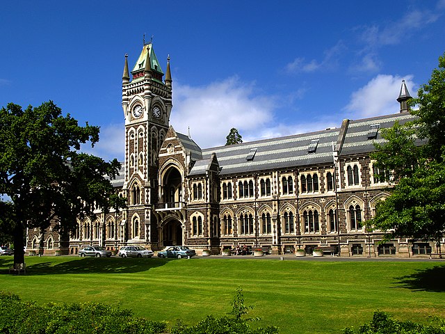
The University of Otago, New Zealand's oldest university
Autumn 2004 in Otago
Aerial photo of Beaumont area in Otago, looking southwest. State Highway 8 runs from left to right across the photo (only visible in the right half), and crosses the Clutha River just below centre.