Mount Adams, known by some Native American tribes as Pahto or Klickitat, is a potentially active stratovolcano in the Cascade Range. Although Adams has not erupted in more than 1,000 years, it is not considered extinct. It is the second-highest mountain in Washington, after Mount Rainier.
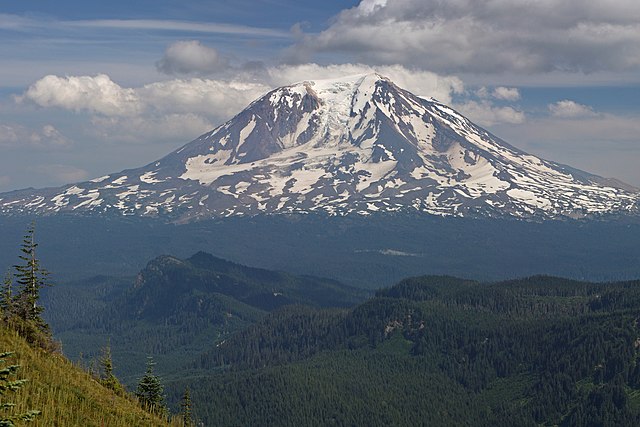
Mount Adams from the west-northwest
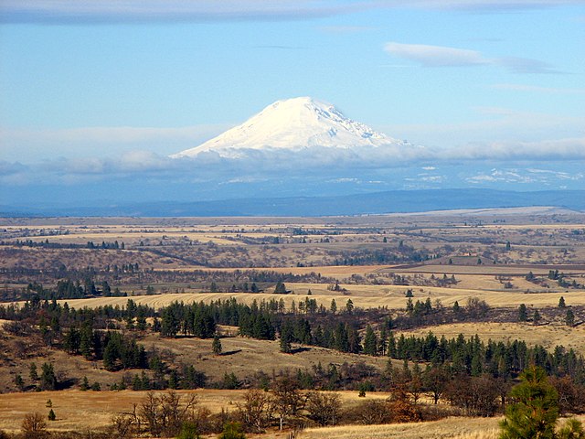
Mount Adams from Wasco County, Oregon
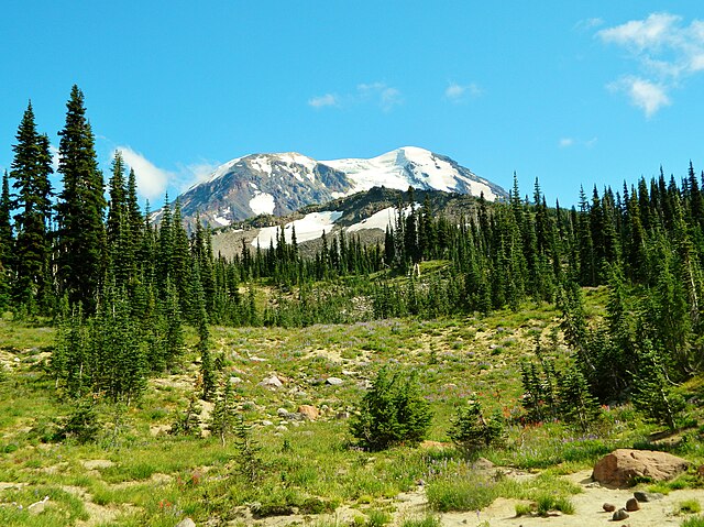
Meadows at Mount Adams Wilderness
Panoramic view from the relatively flat summit area of Mount Adams, with the center of the image looking due west towards Mount St. Helens. Nine Cascade Volcanoes are visible (not including Adams itself). From left to right: Three Sisters complex, Mount Jefferson, Mount Hood, Mount St. Helens, Mount Rainier, Mount Baker, and Glacier Peak. The Olympic Mountains can be seen between St. Helens and Rainier, nearly 150 miles away.
The Cascade Range or Cascades is a major mountain range of western North America, extending from southern British Columbia through Washington and Oregon to Northern California. It includes both non-volcanic mountains, such as many of those in the North Cascades, and the notable volcanoes known as the High Cascades. The small part of the range in British Columbia is referred to as the Canadian Cascades or, locally, as the Cascade Mountains. The highest peak in the range is Mount Rainier in Washington at 14,411 feet (4,392 m).
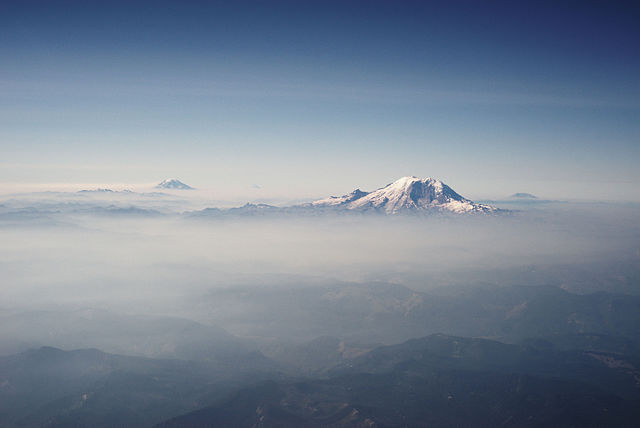
The Cascades in Washington, with Mount Rainier, the range's highest mountain, standing at 14,411 ft (4,392 m). Seen in the background (left to right) are Mount Adams, Mount Hood, and Mount St. Helens.
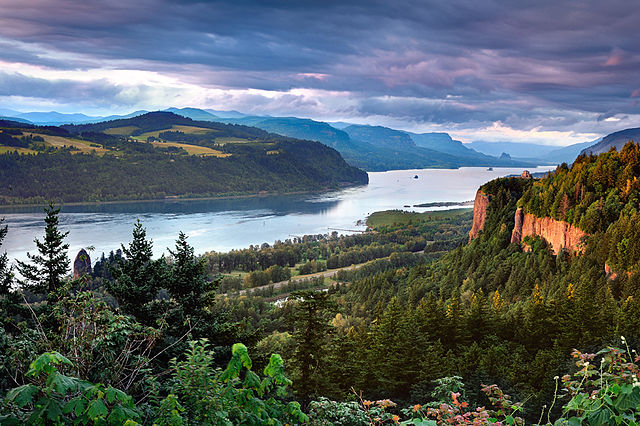
The Columbia Gorge marks where the Columbia River splits the Cascade Range between the states of Washington and Oregon.
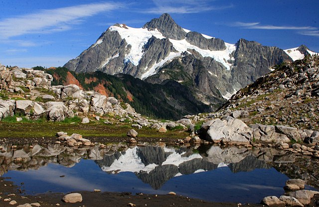
West side view of Mount Shuksan in summer as seen from Artist Point in Washington
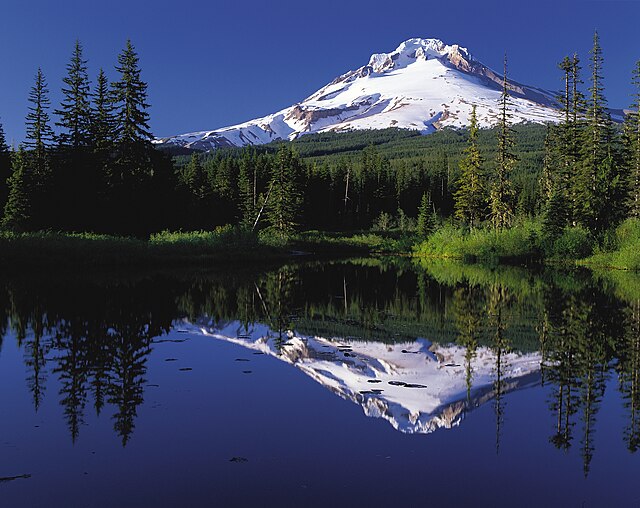
Mount Hood is the tallest point in the U.S. state of Oregon.

