Mount Diablo is a mountain of the Diablo Range, in Contra Costa County of the eastern San Francisco Bay Area in Northern California. It is south of Clayton and northeast of Danville. It is an isolated upthrust peak of 3,849 feet, visible from most of the San Francisco Bay Area. Mount Diablo appears from many angles to be a double pyramid and has many subsidiary peaks. The largest and closest is North Peak, the other half of the double pyramid, which is nearly as high in elevation at 3,557 feet (1,084 m), and is about one mile northeast of the main summit.
West face of Mount Diablo and Hwy 24
A cyclist riding up Mount Diablo
Aerial view of the Los Medanos foothills and Mount Diablo from over Suisun Bay at Concord, California
View of Mount Diablo from Concord: north peak (left), Mount Zion (center), and main peak (right),
The Diablo Range is a mountain range in the California Coast Ranges subdivision of the Pacific Coast Ranges in northern California, United States. It stretches from the eastern San Francisco Bay Area at its northern end to the Salinas Valley area at its southern end.
Mount Hamilton
View of Mt. Diablo from Concord. Main peak at right, North Peak at left, Mt. Zion at center (scroll image L/R to view)
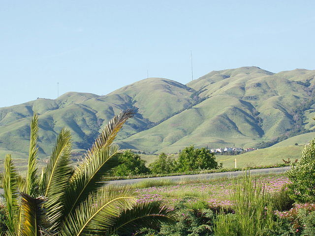
The south edge (mostly Monument Peak) of the Mission Ridge as seen from Milpitas.
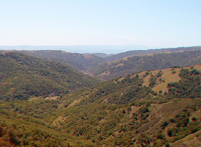
The southern end of Henry W. Coe State Park, near Gilroy


