Mount Fairweather is 20 km (12 mi) east of the Pacific Ocean on the Canada–United States border between Alaska and western British Columbia and has an elevation of 4,653 metres (15,266 ft). Most of the mountain lies within Glacier Bay National Park and Preserve in the City and Borough of Yakutat, Alaska, though the summit borders Tatshenshini-Alsek Provincial Park, British Columbia. Tsalxaan is officially gazetted as Fairweather Mountain in Canada but referred to as Mount Fairweather, and is the highest mountain in the Canadian province of British Columbia. It is also designated as Boundary Peak 164 or as US/Canada Boundary Point #164.
Mount Fairweather (left) with Mount Quincy Adams (right) from the Pacific Ocean, 2001.
The north face of Mt. Fairweather centered
Canada–United States border
The Canada–United States border is the longest international border in the world. The boundary is 8,891 km (5,525 mi) long. The land border has two sections: Canada's border with the contiguous United States to its south, and with the U.S. state of Alaska to its west. The bi-national International Boundary Commission deals with matters relating to marking and maintaining the boundary, and the International Joint Commission deals with issues concerning boundary waters. The agencies responsible for facilitating legal passage through the international boundary are the Canada Border Services Agency (CBSA) and U.S. Customs and Border Protection (CBP).
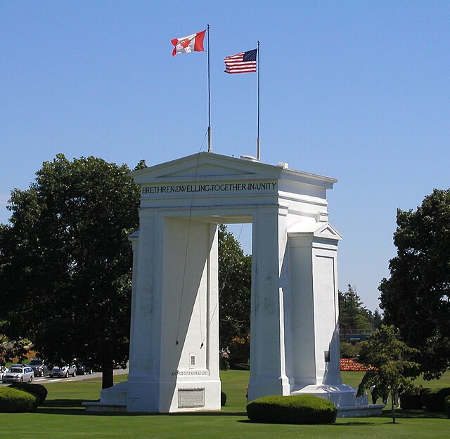
The Peace Arch at the border between Surrey, British Columbia, and Blaine, Washington
Signing of the Treaty of Ghent in 1814, which ended the War of 1812 and returned the border to its pre-war state. Subsequent treaties agreed upon saw the border demilitarized, and most boundary disputes resolved.
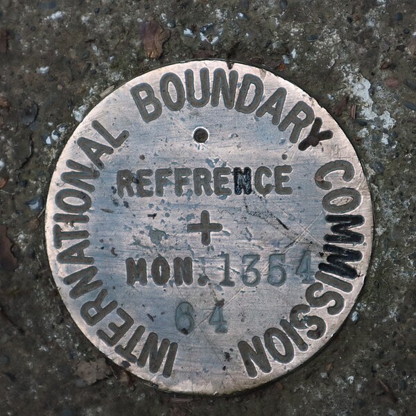
An International Boundary Commission reference monument at the Pigeon River
The Poker Creek–Little Gold Creek Border Crossing at the Alaska–Yukon border closed as a result of the COVID-19 pandemic.