Mount Greylock
Videos
Mount Greylock is the highest point in the state of Massachusetts at 3,489 feet. Located in northwest region of the state, it is part of the Taconic Mountains, a geologically distinct range from the nearby Berkshires and Green Mountains. Expansive views and a small area of sub-alpine forest characterize its upper reaches. A seasonal automobile road crosses the summit area near three structures from the 1930s, which together constitute a small, "National Historic District." Various hiking paths including the Appalachian Trail traverse the area, which is part of the larger Mount Greylock State Reservation.
Mt. Greylock seen from the West

A view of the Mount Greylock Range from South Williamstown (from the west). The Hopper, a cirque, is centered below the summit.
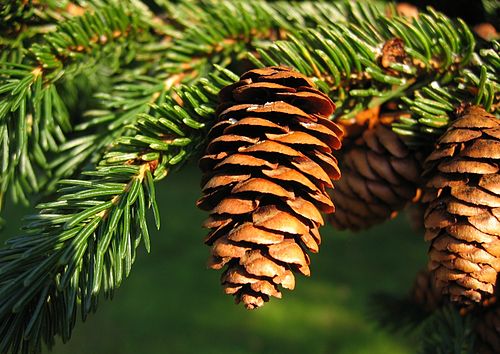
Red spruce on Mount Greylock

New England aster on Mount Greylock
Berkshires
Videos
The Berkshires are highlands located in western Massachusetts and northwestern Connecticut in the United States. Generally, "Berkshires" may refer to the range of hills in Massachusetts that lie between the Housatonic and Connecticut Rivers. Highlands of northwest Connecticut may be seen as part of the Berkshires and sometimes called the Northwest Hills or Litchfield Hills. The segment of the Taconic Mountains in Massachusetts is often considered a part of the Berkshires, although they are geologically separate and are a comparatively narrow range along New York's eastern border.

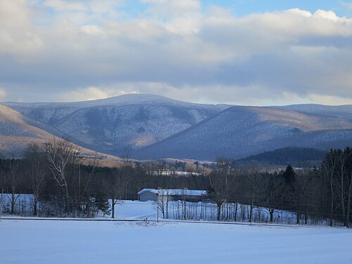
The Mount Greylock massif seen from the west in winter, with the deep valley known as "The Hopper" directly below the summit

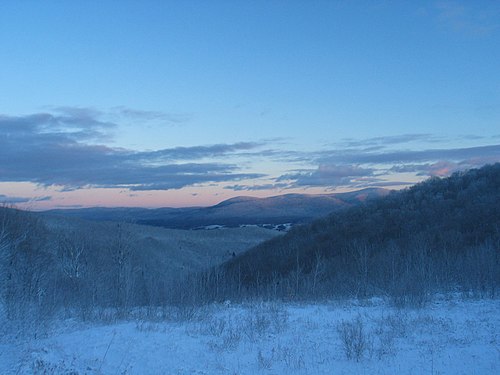
A view of the Berkshires from near North Adams, Massachusetts