Mount Mansfield is the highest mountain in Vermont with a summit that peaks at 4,393 feet (1,339 m) above sea level. The summit is located within the town of Underhill in Chittenden County; the ridgeline, including some secondary peaks, extends into the town of Stowe in Lamoille County, and the mountain's flanks also reach into the town of Cambridge.
Mount Mansfield, September 2004
Mansfield's summit.
Western Slope of Mt. Mansfield from Underhill, Vermont.
Mansfield from north of Stowe, Vermont.
Vermont is a landlocked state in the New England region of the Northeastern United States. It borders Massachusetts to the south, New Hampshire to the east, New York to the west, and the Canadian province of Quebec to the north. As of the 2020 U.S. census, the state had a population of 643,503, ranking it the second least populated U.S. state ahead of Wyoming. It is the nation's sixth smallest state in area. The state's capital of Montpelier is the least populous U.S. state capital. No other U.S. state has a most populous city with fewer residents than Burlington. Vermont is also well known for being the largest producer of true maple syrup in the United States for over 200 years.
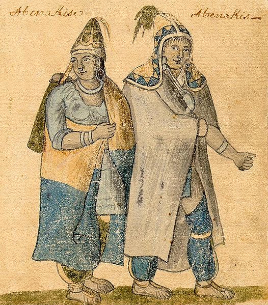
Watercolor of Abenaki couple, 1700s
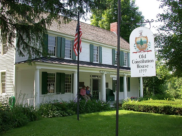
The Old Constitution House at Windsor, where the Constitution of Vermont was adopted on July 8, 1777
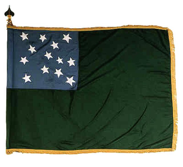
A c.1775 flag used by the Green Mountain Boys
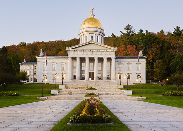
The gold leaf dome of the neoclassical Vermont State House (Capitol) in Montpelier