The mountains of Bhutan are some of the most prominent natural geographic features of the kingdom. Located on the southern end of the Eastern Himalaya, Bhutan has one of the most rugged mountain terrains in the world, whose elevations range from 160 metres (520 ft) to more than 7,000 metres (23,000 ft) above sea level, in some cases within distances of less than 100 kilometres (62 mi) of each other. Bhutan's highest peak, at 7,570 metres (24,840 ft) above sea level, is north-central Gangkhar Puensum, close to the border with Tibet; the third highest peak, Jomolhari, overlooking the Chumbi Valley in the west, is 7,314 metres (23,996 ft) above sea level; nineteen other peaks exceed 7,000 metres (23,000 ft). Weather is extreme in the mountains: the high peaks have perpetual snow, and the lesser mountains and hewn gorges have high winds all year round, making them barren brown wind tunnels in summer, and frozen wastelands in winter. The blizzards generated in the north each winter often drift southward into the central highlands.

Mountains and valleys dominate the topography of Bhutan.
Bhutan, officially the Kingdom of Bhutan, is a landlocked country in South Asia situated in the Eastern Himalayas between China in the north and India in the south. With a population of over 727,145 and a territory of 38,394 square kilometres (14,824 sq mi), Bhutan ranks 133rd in land area and 160th in population. Bhutan is a constitutional monarchy with a king as the head of state and a prime minister as the head of government. Vajrayana Buddhism is the state religion and the Je Khenpo is the head of the state religion.
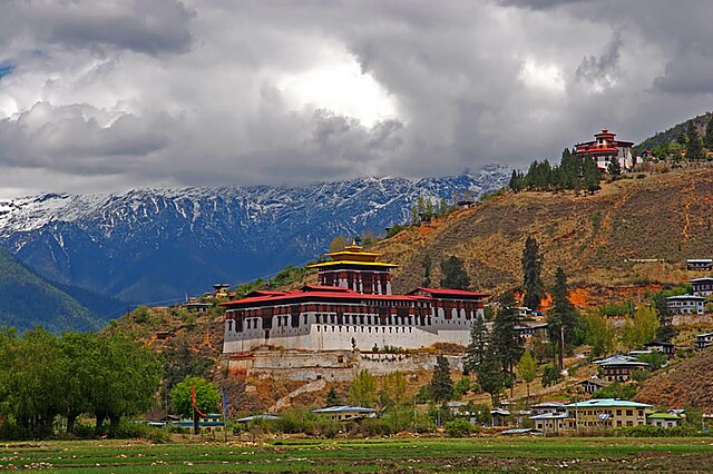
The dzong in the Paro valley, built in 1646
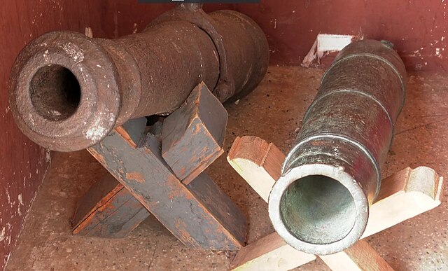
The Portuguese cannons in the National museum of Paro.
Trashigang Dzong, built in 1659
Sketch of Bhutan's interior, 1783


