The Mullet Peninsula —also known as the Mullet and sometimes as the Erris Peninsula—is a peninsula in the barony of Erris in County Mayo, Ireland. As of 2016 it has a population of 3963. It consists of a large promontory connected to the mainland at Belmullet, a town of about 1,000 inhabitants, by a narrow isthmus. There are several villages on the Mullet peninsula including Aughleam, Elly, Corclough and Binghamstown. The Peninsula is about 33 km (21 mi) long and ranges from 200 metres (660 ft) to 12 km (7.5 mi) wide. Its northernmost point is Erris Head. The peninsula's doglegged shape forms two bays, Blacksod Bay and Broadhaven Bay.
St. Dairbhile's Church, a medieval place of worship
Sea holly at Termoncarragh
Cross Lake, Mullet Peninsula, July 2010
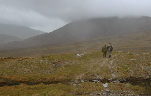
Erris is a barony in northwestern County Mayo in Ireland consisting of over 230,452 acres (932.61 km2), much of which is mountainous blanket bog. It has extensive sea coasts along its west and north boundaries. The main towns are Belmullet and Bangor Erris. The name Erris derives from the Irish 'Iar Ros' meaning 'western promontory'. The full name is the Iorrais Domnann, after the Fir Bolg tribe, the Fir Domnann. To its north is the wild Atlantic Ocean and the bays of Broadhaven and Sruth Fada Conn and to its west is Blacksod Bay. Its main promontories are the Doohoma Peninsula, Mullet Peninsula, Erris Head, the Dún Chiortáin and Dún Chaocháin peninsulas and Benwee Head.
The Stags of Broadhaven Bay with Benwee Head in the foreground
Bangor Way way-marked walking trail
Dolphins in Sruwaddacon Bay August 2010
View across Erris blanket bog southwards from Carrowmore Lake


