Musrara
Videos
Musrara is a formerly Ottoman neighborhood in what is now West Jerusalem. It is bordered by the Israeli neighborhoods of Mea Shearim and Beit Yisrael to the north, by the Russian Compound and Kikar Safra to the west, and by Mamilla mall to the south, and the Old City to the east.


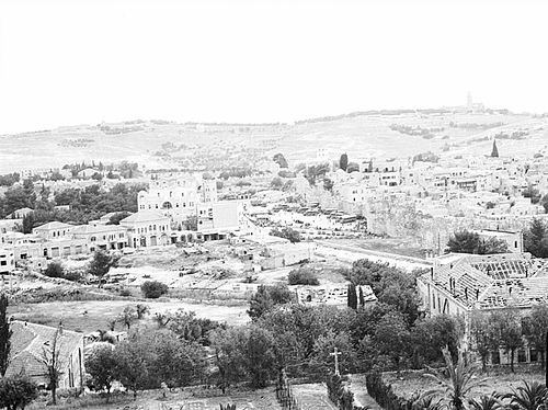
Musrara, 1934-1939

"They're not nice" alley, Musrara

Architecture in Musrara
Kirya Ne'emana
Videos
Kirya Ne'emana, commonly known as Batei Nissan Bak was a historical Hasidic Jewish neighborhood established opposite Damascus Gate in the New City of Jerusalem in 1875. In the 1880s and 1890s it was joined by additional housing for Syrian, Iraqi, Persian, Georgian, and Caucasian Jews. Most of the residents fled the area during the 1929 Palestine riots and their houses were occupied by Christians and Muslims. In the 2000s a handful of Jewish families reclaimed houses in the neighborhood.

Kirya Ne'emana in 1925
View of former neighborhood of Kirya Ne'emana (left) circa 1950