Narrogin, Western Australia
Narrogin is a town in the Wheatbelt region of Western Australia, 192 kilometres (119 mi) southeast of Perth on the Great Southern Highway between Pingelly and Wagin. In the age of steam engines, Narrogin was one of the largest railway operation hubs in the southern part of Western Australia.
Soldier memorial institute
Shire of Narrogin building
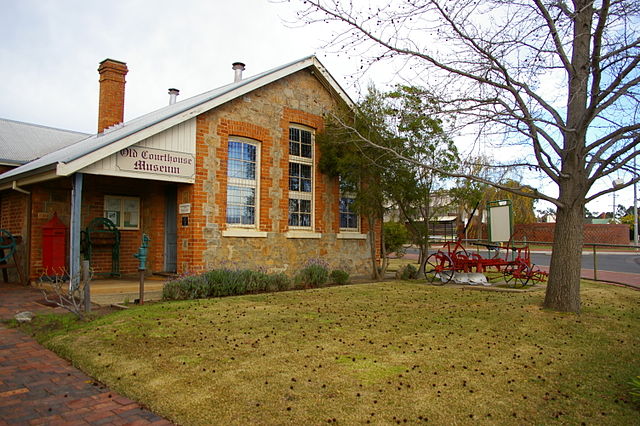
Old Courthouse Museum
Train leaving the Narrogin yard
Wheatbelt (Western Australia)
The Wheatbelt is one of nine regions of Western Australia defined as administrative areas for the state's regional development, and a vernacular term for the area converted to agriculture during colonisation. It partially surrounds the Perth metropolitan area, extending north from Perth to the Mid West region, and east to the Goldfields–Esperance region. It is bordered to the south by the South West and Great Southern regions, and to the west by the Indian Ocean, the Perth metropolitan area, and the Peel region. Altogether, it has an area of 154,862 square kilometres (59,793 sq mi).
Grain receival and storage facility at Yealering
Land degradation caused by excessive clearing with resulting salinity, near Babakin
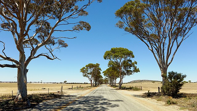
Bencubbin–Kellerberrin Road
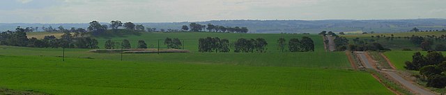
Wheat growing north-east of Northam