Route 45 is a state highway in the southern part of New Jersey. It runs 28.51 mi (45.88 km) from Route 49 in Salem, Salem County, northeast to U.S. Route 130 in Westville, Gloucester County. The route is signed as a north-south highway. Much of the southern part of the route runs through rural areas of Salem and Gloucester counties, passing through the communities of Woodstown and Mullica Hill. North of Mullica Hill, Route 45 runs through suburban areas, with the portion of the route between the northern border of Mantua Township and the southern border of Woodbury a four-lane divided highway. The route intersects many highways, including US 40 in Woodstown, Route 77 and US 322 in Mullica Hill, and Interstate 295 (I-295) in West Deptford Township.
Route 45 northbound in Salem
View north along Route 45 at its northeastern junction with CR 540 in Mannington Township
Route 45 southbound past CR 664 in Harrison Township
Route 45 northbound in Westville
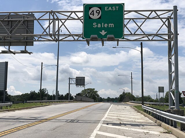
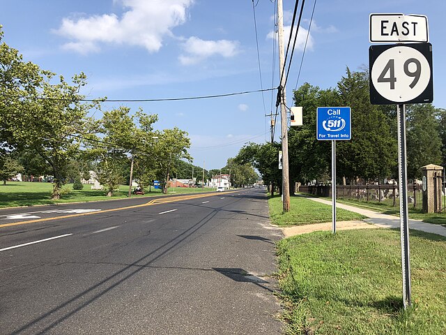
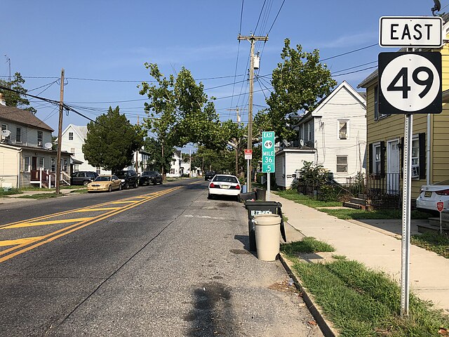
Route 49 is a state highway in the southern part of the U.S. state of New Jersey. It runs 53.80 mi (86.58 km) from an interchange with the New Jersey Turnpike, Interstate 295 (I-295), and U.S. Route 40 (US 40) in Deepwater, Salem County, southeast to Route 50 and County Route 557 in Tuckahoe, Cape May County. The route serves Salem, Cumberland, Atlantic, and Cape May counties, passing through rural areas and the communities of Salem, Bridgeton, and Millville along the way. It is a two-lane, undivided road for most of its length.
View east at the west end of Route 49 at I-295/US 40/US 130 in Pennsville
Route 49 eastbound past CR 607 in Bridgeton
View east along Route 49 east of Third Street in Millville
Route 49 westbound at milepost 49 in Estell Manor