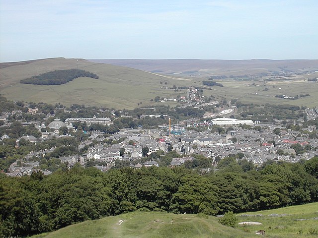
New Mills is a town in the Borough of High Peak, Derbyshire, England, 8 miles (13 km) south-east of Stockport and 13 miles (21 km) from Manchester at the confluence of the River Goyt and Sett. It is close to the border with Cheshire and above the Torrs, a 70 feet (21 m) deep gorge cut through carboniferous sandstone, on the north-western edge of the Peak District National Park.
Two rivers, two railways, a canal, and various roads all converge to form a town on differing levels. Hills rising out to the nearby Peak District surround the central viaducts and bridges.
Swizzels Matlow, Newtown (top)
The Union Bridge and the packhorse bridge it replaces. The gritstone strata of the gorge are visible.
New Mills Town Hall (built 1871, clock tower added 1875)
High Peak is a local government district with borough status in Derbyshire, England, covering a high moorland plateau in the Dark Peak area of the Peak District National Park. The district stretches from Holme Moss in the north to Sterndale Moor in the south, and from Hague Bar in the west to Bamford in the east. The population of the borough taken at the 2011 Census was 90,892. The borough is unusual in having two administrative centres for its council, High Peak Borough Council; the offices are in Buxton and Glossop. Other towns include Chapel-en-le-Frith, Hadfield, New Mills and Whaley Bridge.
Buxton, one of the two administrative centres of High Peak (with Glossop) and the second largest settlement in the borough
Glossop, the second administrative centre of High Peak and the largest settlement in the borough