The Newark-Pompton Turnpike, is a roadway in northern New Jersey that was originally a tolled turnpike. The roadway was first laid out in the mid-18th century and given its name in 1806. As originally designed, it connected Newark with the area north and west of the Pompton River in what is now Riverdale. Its south end is Broadway in Newark; its north end is the Paterson-Hamburg Turnpike. As such, it was part of an alternate route between Newark and Paterson.
Northbound into Montclair
Under the West Essex Trail in Cedar Grove
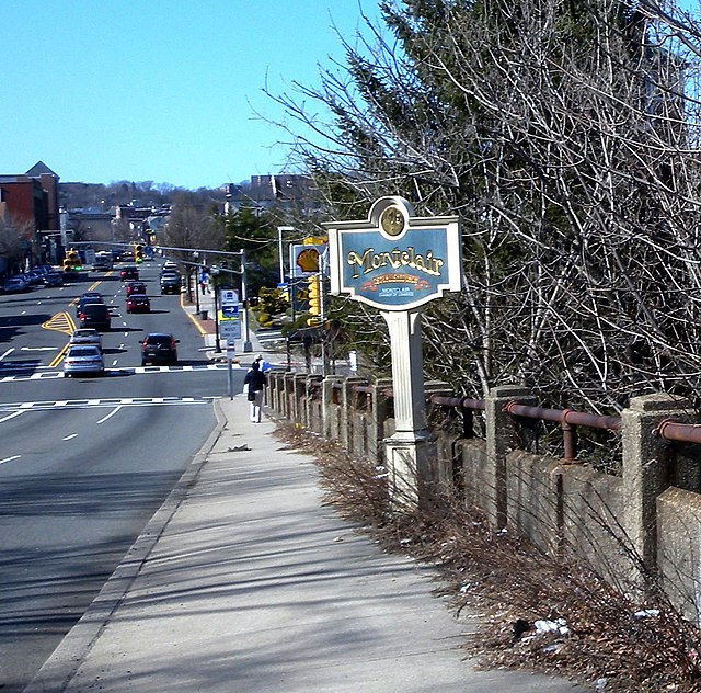
Route 23 is a state highway in the northern part of New Jersey, United States. The route runs 52.63 mi (84.70 km) from County Route 506 and County Route 577 in Verona, Essex County northwest to the border with New York at Montague Township in Sussex County, where the road continues to Port Jervis, New York, as Orange County Route 15. Route 23 heads through Essex and Passaic Counties as a two- to four-lane surface road and becomes a six-lane freeway north of a complex interchange with U.S. Route 46 and Interstate 80 in Wayne. The freeway carries Route 23 north to a concurrency with U.S. Route 202. Past the freeway portion, the route heads northwest along the border of Morris and Passaic Counties as a four- to six-lane arterial road with a wide median at places, winding through mountainous areas and crossing Interstate 287 in Riverdale. The route continues northwest through Sussex County as a mostly two-lane surface road that passes through farmland and woodland as well as the communities of Franklin, Hamburg, and Sussex before reaching the New York state line, just south of an interchange with Interstate 84 and US 6 in Port Jervis, in Montague Township near High Point State Park.

View north along Route 23 at Highland Road in Cedar Grove
Route 23 freeway northbound in Wayne
Route 23 southbound past Reservoir Road in West Milford
Route 23 northbound along its concurrency with CR 519 in Wantage Township