Newtown Creek, a 3.5-mile (6-kilometer) long tributary of the East River, is an estuary that forms part of the border between the boroughs of Brooklyn and Queens, in New York City. Channelization made it one of the most heavily-used bodies of water in the Port of New York and New Jersey and thus one of the most polluted industrial sites in the United States, containing years of discarded toxins, an estimated 30,000,000 US gallons of spilled oil, including the Greenpoint oil spill, raw sewage from New York City's sewer system, and other accumulation from a total of 1,491 sites.
The Creek in Long Island City
Aerial photograph of Newtown Creek (2013). View looking east.
Mouth of the Creek, seen from Pulaski Bridge. Manhattan Avenue Bridge formerly connected Manhattan Avenue on the left bank to Vernon Boulevard
Three "digester eggs" at Newtown Creek Wastewater Treatment Plant
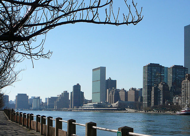
The East River is a saltwater tidal estuary or strait in New York City. The waterway, which is actually not a river despite its name, connects Upper New York Bay on its south end to Long Island Sound on its north end. It separates Long Island, with the boroughs of Brooklyn and Queens, from Manhattan Island, and from the Bronx on the North American mainland.
East River (foreground) and the headquarters of the United Nations in Manhattan (background) seen from Roosevelt Island in December 2006
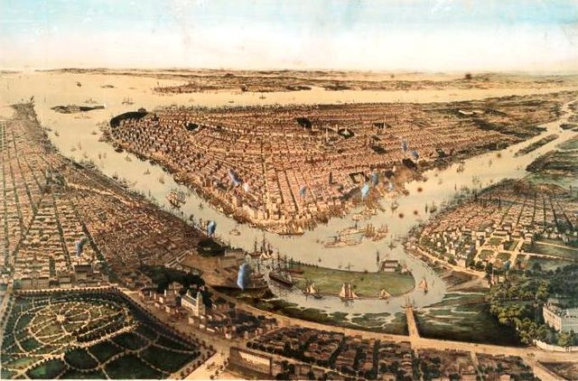
A "bird's-eye" view of New York City from 1859; Wallabout Bay and the East River are in the foreground, the Hudson River and New York Bay in the background
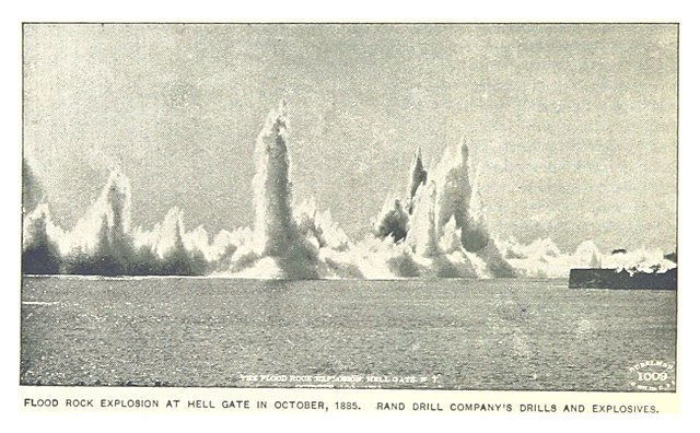
The 1885 explosion
A panorama of the suspension section of the Robert F. Kennedy Bridge (left) and the Hell Gate Bridge (right), as seen from Astoria Park in Queens


