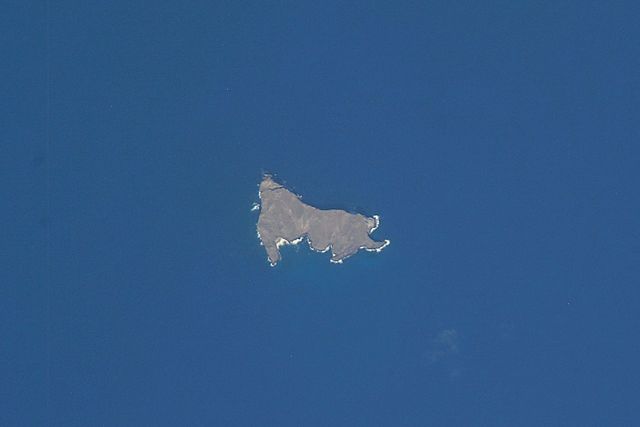
Nihoa, also known as Bird Island or Moku Manu, is the tallest of ten islands and atolls in the uninhabited Northwestern Hawaiian Islands (NWHI). The island is located at the southern end of the NWHI chain, 296 km (160 nmi) southeast of Necker Island. Nihoa is the closest NWHI in proximity to the eight main windward Hawaiian Islands at approximately 240 km (130 nmi) northwest of the island of Kauaʻi. The island has two peaks, 272 m (892 ft) Miller's Peak in the west, and 259 m (850 ft) Tanager Peak in the east. Nihoa's area is about 171 acres (0.69 km2) and is surrounded by a 142,000-acre (57,000 ha) coral reef. Its jagged outline gives the island its name, Nīhoa, which is Hawaiian for "toothed, serrated".
Nihoa
View of Nihoa Island
Nihoa island
Nihoa millerbird
Northwestern Hawaiian Islands
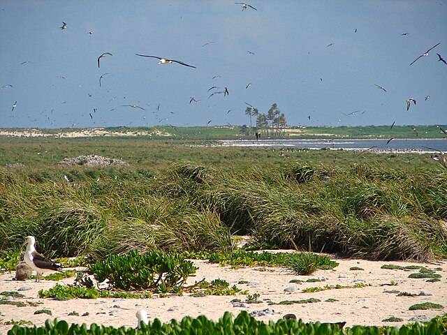
The Northwestern Hawaiian Islands or Leeward Hawaiian Islands are a series of islands and atolls in the Hawaiian island chain located northwest of the islands of Kauai and Niʻihau. Politically, they are all part of Honolulu County in the U.S. state of Hawaii, except Midway Atoll, which is a territory distinct from the State of Hawaii, and grouped as one of the United States Minor Outlying Islands. The United States Census Bureau defines this area, except Midway, as Census Tract 114.98 of Honolulu County. Its total land area is 3.1075 square miles (8.048 km2). All the islands except Nihoa are north of the Tropic of Cancer, making them the only islands in Hawaii that lie outside the tropics.
The interior of Laysan, showing the hypersaline lake
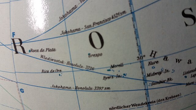
JRO globe ca. 1960
The reserve sign on Lisianski