Nithsdale, also known as Strathnith, Stranith or Stranit, is the strath or dale of the River Nith in southern Scotland. Nithsdale was one of the medieval provinces of Scotland. The provinces gradually lost their administrative importance to the shires created from the twelfth century, with Nithsdale forming part of Dumfriesshire. A Nithsdale district covering a similar area to the medieval province was created in 1975, based in the area's main town of Dumfries. The district was abolished in 1996, since when the area has been directly administered by Dumfries and Galloway Council.
Looking east from Auchengibbert Hill with Tynron Doon in the right foreground and the valley of the River Nith (Nithsdale) beyond. Queensberry Hill is by the left edge of the picture with the village of Penpont in the near foreground (left of centre) and Thornhill in the middle distance between Penpont and Queensberry.
Municipal Buildings, Dumfries
The River Nith is a river in south-west Scotland. The Nith rises in the Carsphairn hills of East Ayrshire, between Prickeny Hill and Enoch Hill, 4.4 miles (7.1 km) east of Dalmellington. For the majority of its 70 miles (110 km) course it flows in a south-easterly direction through Dumfries and Galloway and then into the Solway Firth at Airds Point.
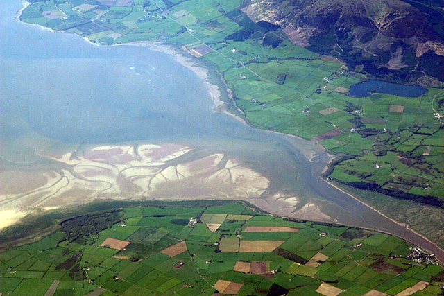
The estuary of the River Nith, opening into Solway Firth south of Dumfries
The Nith near Carron Bridge.
The Nith at Ellisland Farm.