Noachian
Videos
The Noachian is a geologic system and early time period on the planet Mars characterized by high rates of meteorite and asteroid impacts and the possible presence of abundant surface water. The absolu
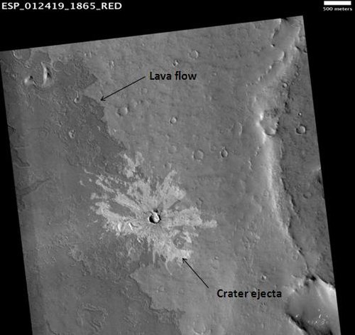
HiRISE image illustrating superpositioning, a principle that lets geologists determine the relative ages of surface units. The dark-toned lava flow overlies (is younger than) the light-toned, more heavily cratered terrain (older lava flow?) at right. The ejecta of the crater at center overlies both units, indicating that the crater is the youngest feature in the image. (See schematic cross section, right.)

Geologic contact of Noachian and Hesperian Systems. Hesperian ridged plains (Hr) embay and overlie older Noachian cratered plains (Npl). Note that the ridged plains partially bury many of the old Noachian-aged craters. Image is THEMIS IR mosaic, based on similar Viking photo shown in Tanaka et al. (1992), Fig. 1a, p. 352.

Artist's impression of an early wet Mars. Late Hesperian features (outflow channels) are shown, so this does not present an accurate picture of Noachian Mars, but the overall appearance of the planet from space may have been similar. In particular, note the presence of a large ocean in the northern hemisphere (upper left) and a sea covering Hellas Planitia (lower right).

Delta in Eberswalde Crater, seen by Mars Global Surveyor.
Mars
Videos
Mars is the fourth planet from the Sun. It is also known as the "Red Planet", for its orange-red appearance. Mars is a desert-like rocky planet with a tenuous atmosphere that is primarily carbon dioxi
Noachian
…The Noachian is a geologic system and early time period on the planet Mars characterized by high rates of meteorite and asteroid impacts and the possible presence of abundant surface water. The absolute age of the Noachian…
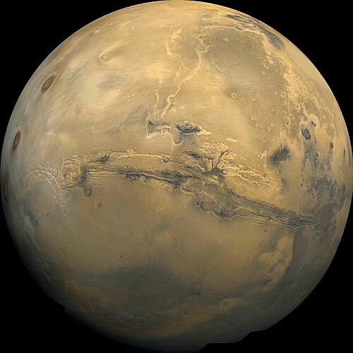
Valles Marineris, taken by the Viking 1 probe

Artist concept showing sand-laden jets erupting from Martian geysers (published by NASA; artist: Ron Miller)

A 30 meter wide and 800 meter high dust devil. Dust devils of 20 kilometer height have been observed.
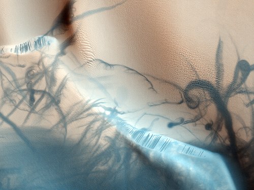
Dust devils cause twisting dark trails on the Martian surface