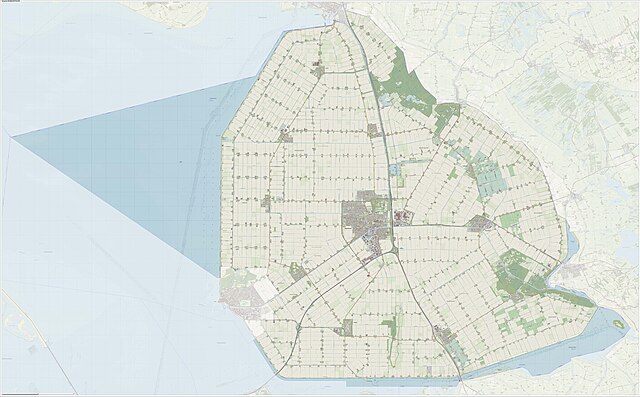
Noordoostpolder is a polder and municipality in the Flevoland province in the central Netherlands. Formerly, it was also called Urker Land. Emmeloord is the administrative center, located in the heart of the Noordoostpolder.
Satellite image of Noordoostpolder
Aucke van der Werff
Corinne Nugter, 2014
Image: Gem Noordoostpolder Open Topo
A polder is a low-lying tract of land that forms an artificial hydrological entity, enclosed by embankments known as dikes. The three types of polder are:Land reclaimed from a body of water, such as a lake or the seabed
Flood plains separated from the sea or river by a dike
Marshes separated from the surrounding water by a dike and subsequently drained; these are also known as koogs, especially in Germany
Aerial view of Flevopolder, the Netherlands
Satellite image of Noordoostpolder, the Netherlands (595.41 km2)
Pumping station in Zoetermeer, Netherlands: The polder lies lower than the surrounding water on the other side of the dike. The Archimedes' screws are clearly visible.
The Yser river and West Flemish polders near Diksmuide