The Nottingham Built-up Area (BUA), Nottingham Urban Area, or Greater Nottingham is an area of land defined by the Office for National Statistics as which is built upon, with nearby areas linked if within 200 metres. It consists of the city of Nottingham and the adjoining urban areas of Nottinghamshire and Derbyshire, in the East Midlands of England. It had a total population of 729,977 at the time of the 2011 census. This was an increase of almost 10% since the 2001 census recorded population of 666,358, due to population increases, reductions and several new sub-divisions.
Built-up area boundaries in 2011 showing Nottingham and Derby, with near convergence of surrounding major BUAs: Nottingham Derby Mansfield Alfreton/South Normanton Selston/Brinsley Belper Heage/Crich Kilburn
Image: Nottingham Skyline with Council House
Image: Beeston, NG9 Town Hall geograph.org.uk 3234947
Image: Musters Road, West Bridgford geograph.org.uk 5291017
Nottingham is a city and unitary authority area in Nottinghamshire, East Midlands, England. It is located 110 miles (180 km) north-west of London, 33 miles (53 km) south-east of Sheffield and 45 miles (72 km) north-east of Birmingham. Nottingham is the legendary home of Robin Hood and to the lace-making, bicycle and tobacco industries. The city is also the county town of Nottinghamshire and the settlement was granted its city charter in 1897, as part of Queen Victoria's Diamond Jubilee celebrations.
Image: Towards King Street, Nottingham geograph.org.uk 4014525
Image: Nottingham Council House geograph.org.uk 2943238
Image: Wollaton hall from front
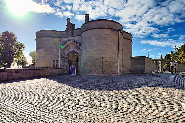
Image: Nottingham Castle Gatehouse (geograph 7313799)


