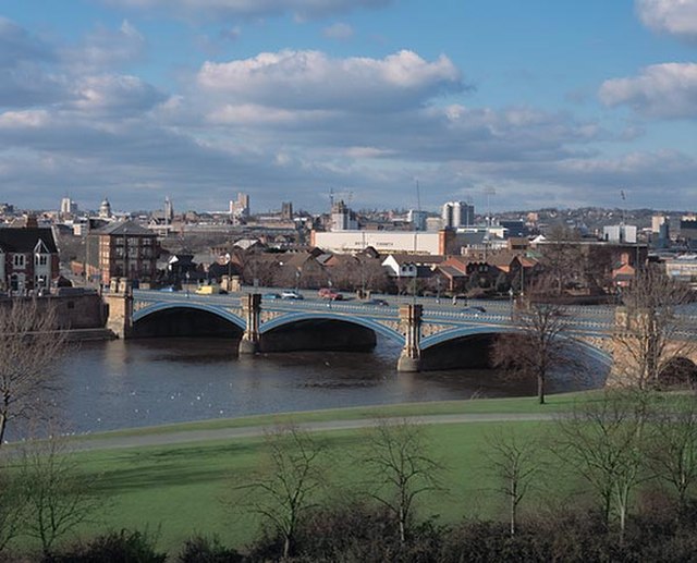
Nottingham city centre is the cultural, commercial, financial and historical heart of Nottingham, England, and represents the central area of the Greater Nottingham conurbation.
Looking towards Nottingham city centre
The Robin Hood statue outside Nottingham Castle
Nottingham skyline
Ye Olde Trip To Jerusalem, reputedly the oldest pub in England
The Nottingham Built-up Area (BUA), Nottingham Urban Area, or Greater Nottingham is an area of land defined by the Office for National Statistics as which is built upon, with nearby areas linked if within 200 metres. It consists of the city of Nottingham and the adjoining urban areas of Nottinghamshire and Derbyshire, in the East Midlands of England. It had a total population of 729,977 at the time of the 2011 census. This was an increase of almost 10% since the 2001 census recorded population of 666,358, due to population increases, reductions and several new sub-divisions.
Built-up area boundaries in 2011 showing Nottingham and Derby, with near convergence of surrounding major BUAs: Nottingham Derby Mansfield Alfreton/South Normanton Selston/Brinsley Belper Heage/Crich Kilburn
Image: Nottingham Skyline with Council House
Image: Beeston, NG9 Town Hall geograph.org.uk 3234947
Image: Musters Road, West Bridgford geograph.org.uk 5291017


