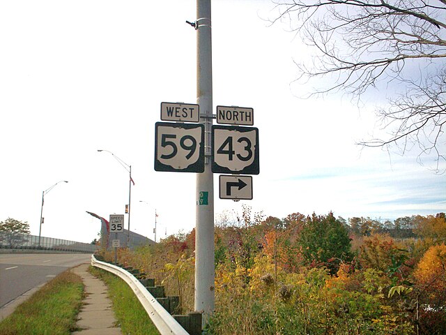
State Route 43 is a mainly north–south state highway that runs through the northeastern quadrant of the U.S. state of Ohio. Its southern terminus is at a signalized intersection with State Route 7 along the Ohio River in Steubenville, and its western terminus is approximately 123 miles (198 km) to the north at Public Square in Cleveland. It is one of ten routes to enter Public Square.
State Routes 59 and 43 cosigned in Kent
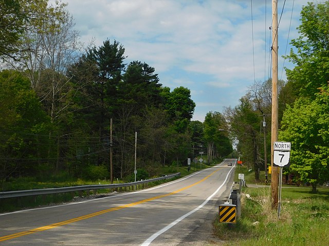
State Route 7 (SR 7), formerly known as Inter-county Highway 7 until 1921 and State Highway 7 in 1922, is a north–south state highway in the southern and eastern portions of the U.S. state of Ohio. At about 336 miles (541 km) in length, it is the longest state route in Ohio. Its southern terminus is an interchange with U.S. Route 52 (US 52) just west of Chesapeake. Its northern terminus also serves as the eastern terminus of SR 531 in Conneaut. The path of SR 7 stays within five miles (8.0 km) of the Ohio River for the southern portion, with the river being visible from much of the route. The road also remains within 10 miles (16 km) of the Pennsylvania state line for the northern portion.
SR 7 north of SR 5 in Kinsman
State Route 7 runs through downtown Gallipolis
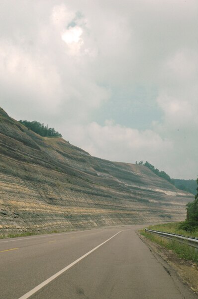
State Route 7 south of Dilles Bottom, Ohio