Old Town is a neighbourhood in the London Borough of Croydon, lying immediately to the west of Croydon town centre. It is centred on Croydon Minster and the Old Palace, and is the location of the original early medieval settlement of Croydon. As defined for modern planning purposes, the neighbourhood includes Surrey Street Market to the east, and extends west as far as the boundaries of Wandle Park, and south to Croydon Flyover. It is bisected by the dual-carriageway north–south A236, known along this stretch as Roman Way. It is in the CR0 postcode area.
The dual-carriageway Croydon Flyover at Old Town, seen from Ruskin Road
The Bull's Head on Laud Street, a quiet backstreet pub in Old Town
London Borough of Croydon
The London Borough of Croydon is a London borough in south London, part of Outer London. It covers an area of 87 km2 (33.6 sq mi). It is the southernmost borough of London. At its centre is the historic town of Croydon from which the borough takes its name; while other urban centres include Coulsdon, Purley, South Norwood, Norbury, New Addington, Selsdon and Thornton Heath. Croydon is mentioned in Domesday Book, and from a small market town has expanded into one of the most populous areas on the fringe of London. The borough is now one of London's leading business, financial and cultural centres, and its influence in entertainment and the arts contribute to its status as a major metropolitan centre. Its population is 390,719, making it the largest London borough and sixteenth largest English district.
London Borough of Croydon
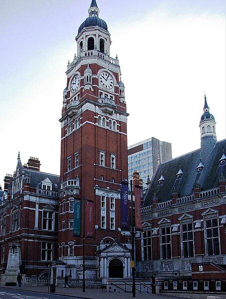
Croydon Town Hall
Croydon Council's offices were in Taberner House until September 2013
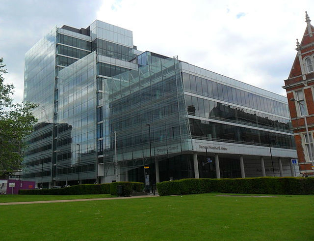
Bernard Weatherill House, home to Croydon Council from September 2013