King's Highway 28, commonly referred to as Highway 28, is a provincially maintained highway in the Canadian province of Ontario. The southwest–northeast route extends from Highway 7 east of Peterborough, to Highway 41 in Denbigh. The route passes over undulating hills before entering the Canadian Shield near Burleigh Falls, and gradually turns eastward.
The north-eastern end of Highway 28 in Denbigh
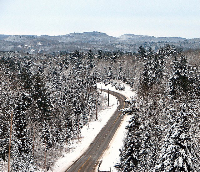
Highway 28 east of McArthur Mills
Highway 28 north of its southern terminus at Highway 7
King's Highway 7, commonly referred to as Highway 7 and historically as the Northern Highway, is a provincially maintained highway in the Canadian province of Ontario. At its peak, Highway 7 measured 716 km (445 mi) in length, stretching from Highway 40 east of Sarnia in Southwestern Ontario to Highway 17 west of Ottawa in Eastern Ontario. However, due in part to the construction of Highways 402 and 407, the province transferred the sections of Highway 7 west of London and through the Greater Toronto Area to county and regional jurisdiction. The highway is now 535.7 km (332.9 mi) long; the western segment begins at Highway 4 north of London and extends 154.1 km (95.8 mi) to Georgetown, while the eastern segment begins at Donald Cousens Parkway in Markham and extends 381.6 km (237.1 mi) to Highway 417 in Ottawa.
Highway 7 (York Regional Road 7) at intersection of Warden Avenue (York Regional Road 65) in Markham, in 2008 prior to widening to accommodate Viva Rapid Transit.
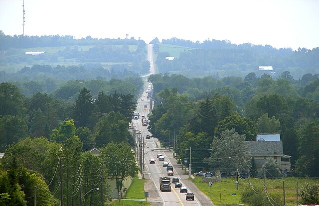
Highway 7 near Omemee, in the City of Kawartha Lakes
Highway 7 in Central Frontenac; this section passes through the sparsely developed terrain of the Opeongo Hills