Ontario Highway 7A
Videos
Page
King's Highway 7A, commonly referred to as Highway 7A, is a provincially maintained highway in the Canadian province of Ontario that serves as a bypass of Highway 7. The highway begins in the community of Manchester, where Highway 7 is concurrent with Highway 12, and travels east through Port Perry, Nestleton Station, Bethany and Cavan, ending at Highway 115 southwest of Peterborough. From there, Highway 7 can be reached via Highway 115 northbound. Near its midpoint the route is concurrent with Highway 35 for 1.5 kilometres (0.93 mi).

The floating bridge, shortly after completion in the 1850s
Ontario Highway 7
Videos
Page
King's Highway 7, commonly referred to as Highway 7 and historically as the Northern Highway, is a provincially maintained highway in the Canadian province of Ontario. At its peak, Highway 7 measured 716 km (445 mi) in length, stretching from Highway 40 east of Sarnia in Southwestern Ontario to Highway 17 west of Ottawa in Eastern Ontario. However, due in part to the construction of Highways 402 and 407, the province transferred the sections of Highway 7 west of London and through the Greater Toronto Area to county and regional jurisdiction. The highway is now 535.7 km (332.9 mi) long; the western segment begins at Highway 4 north of London and extends 154.1 km (95.8 mi) to Georgetown, while the eastern segment begins at Donald Cousens Parkway in Markham and extends 381.6 km (237.1 mi) to Highway 417 in Ottawa.
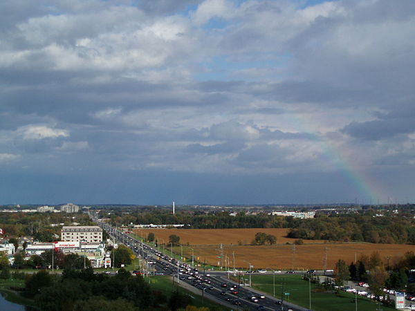
Highway 7 (York Regional Road 7) at intersection of Warden Avenue (York Regional Road 65) in Markham, in 2008 prior to widening to accommodate Viva Rapid Transit.
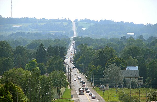
Highway 7 near Omemee, in the City of Kawartha Lakes

Highway 7 in Central Frontenac; this section passes through the sparsely developed terrain of the Opeongo Hills