The Ottawa National Forest is a national forest that covers 993,010 acres (401,860 ha) in the Upper Peninsula of the U.S. state of Michigan. It includes much of Gogebic and Ontonagon counties, as well as slices of Iron, Houghton, Baraga, and Marquette counties. The forest is under the jurisdiction of the U.S. Forest Service.
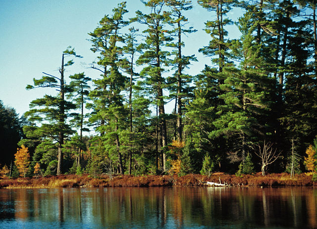
Pinus strobus, Katherine Lake. Ottawa National Forest, Sylvania Wilderness, Michigan
Logging is a significant activity in the national forest.
Sign at the entrance to O Kun de Kun Falls, located within the forest.
Upper Peninsula of Michigan
The Upper Peninsula of Michigan—also known as Upper Michigan or colloquially the U.P.—is the northern and more elevated of the two major landmasses that make up the U.S. state of Michigan; it is separated from the Lower Peninsula by the Straits of Mackinac. It is bounded primarily by Lake Superior to the north, separated from the Canadian province of Ontario at the east end by the St. Marys River, and flanked by Lake Huron and Lake Michigan along much of its south. Although the peninsula extends as a geographic feature into the state of Wisconsin, the state boundary follows the Montreal and Menominee rivers and a line connecting them.
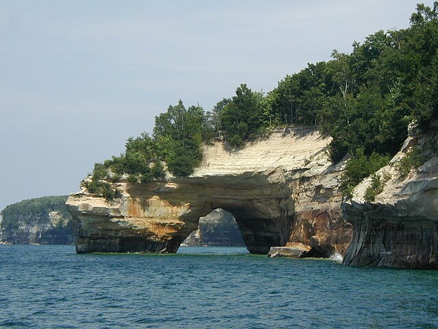
Image: Pictured Rocks National Lakeshore arch
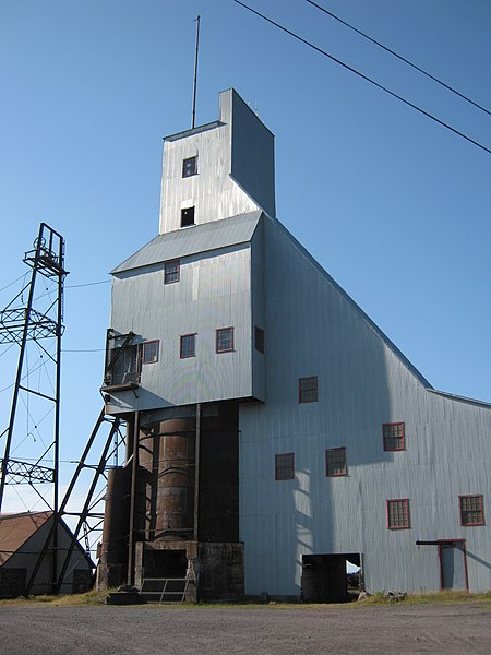
Image: Quincy Mine Shaft House
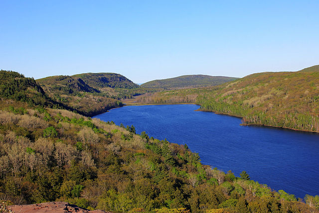
Image: Gfp michigan porcupine mountains state park full view of lake of the clouds
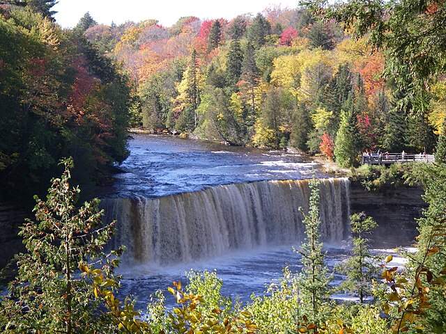
Image: Upper Tahquamenon Falls Fall 2007