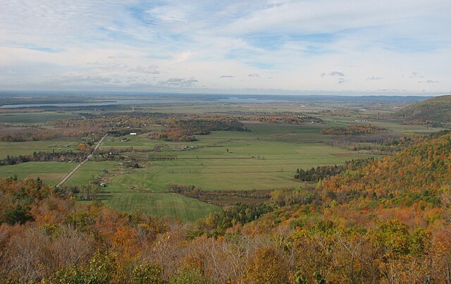
The Ottawa Valley is the valley of the Ottawa River, along the boundary between Eastern Ontario and the Outaouais, Quebec, Canada. The valley is the transition between the Saint Lawrence Lowlands and the Canadian Shield. Because of the surrounding shield, the valley is narrow at its western end and then becomes increasingly wide as it progresses eastward. The underlying geophysical structure is the Ottawa-Bonnechere Graben. Approximately 1.3 million people reside in the valley, around 80% of whom reside in Ottawa. The total area of the Ottawa Valley is 2.4 million ha. The National Capital Region area has just over 1.4 million inhabitants in both provinces.
The Ottawa River crossing the Ottawa Valley near the City of Ottawa. In the foreground, skirts of the Gatineau Hills make up part of the southern tip of the Canadian Shield.
The Ottawa River is a river in the Canadian provinces of Ontario and Quebec. It is named after the Algonquin word 'to trade', as it was the major trade route of Eastern Canada at the time. For most of its length, it defines the border between these two provinces. It is a major tributary of the St. Lawrence River and the longest river in Quebec.
The Ottawa River in autumn
In this false-colour satellite image, the Ottawa River flows southeast, joining the St. Lawrence River which flows northeast. Heavily forested areas appear differing shades of orange/red, while farmland is tan shades.
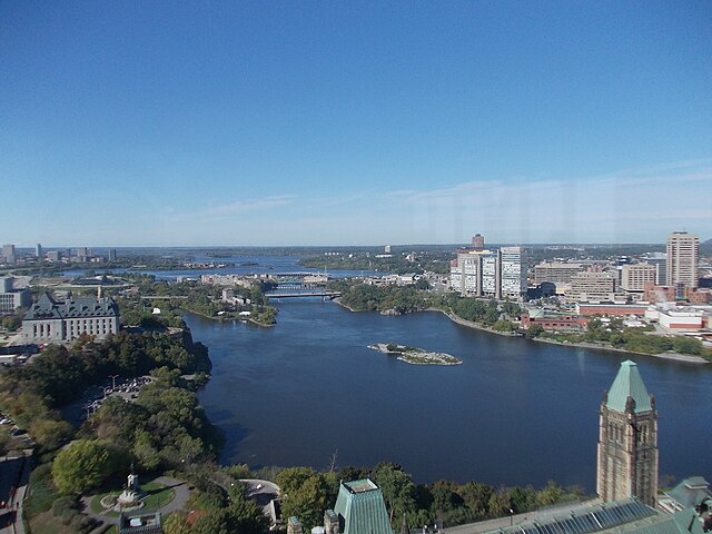
Ottawa River, looking upstream (view from the Peace Tower of Parliament Centre Block)
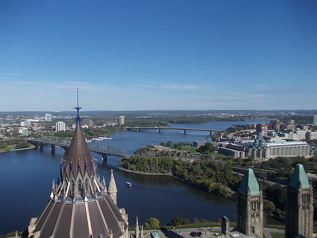
Ottawa River, looking downstream (view from the Peace Tower of Parliament Centre Block)


