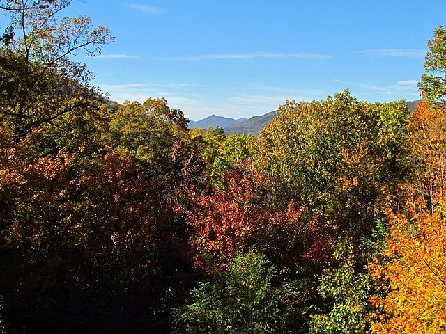
The Ouachita Mountains, simply referred to as the Ouachitas, are a mountain range in western Arkansas and southeastern Oklahoma. They are formed by a thick succession of highly deformed Paleozoic strata constituting the Ouachita Fold and Thrust Belt, one of the important orogenic belts of North America. The Ouachitas continue in the subsurface to the northeast, where they make a poorly understood connection with the Appalachians and to the southwest, where they join with the Marathon uplift area of West Texas. Together with the Ozark Plateaus, the Ouachitas form the U.S. Interior Highlands. The highest natural point is Mount Magazine at 2,753 feet (839 m).
The Ouachita National Forest during the fall
Fourche Mountain salamander
Vertical strata in the eastern Ouachitas
Cluster of Arkansas quartz crystals from the Ouachita Mountains
Arkansas is a landlocked state in the South Central region of the Southern United States. It borders Missouri to the north, Tennessee and Mississippi to the east, Louisiana to the south, Texas to the southwest, and Oklahoma to the west. Its name derives from the Osage language, and refers to their relatives, the Quapaw people. The state's diverse geography ranges from the mountainous regions of the Ozark and Ouachita Mountains, which make up the U.S. Interior Highlands, to the densely forested land in the south known as the Arkansas Timberlands, to the eastern lowlands along the Mississippi River and the Arkansas Delta.
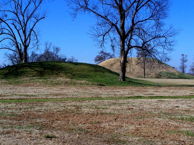
Platform mounds were constructed frequently during the Woodland and Mississippian periods.
Arkansas statehood, 100th anniversary issue; released on June 15, 1936, on the 100th anniversary of Arkansas statehood. The old state house is depicted at center, the fort surrounding the Arkansas Post at left with the present day state capitol building at right.
Lakeport Plantation, built c. 1859
Cannons at Battle of Pea Ridge site


