In geomorphology and geology, a peneplain is a low-relief plain formed by protracted erosion. This is the definition in the broadest of terms, albeit with frequency the usage of peneplain is meant to imply the representation of a near-final stage of fluvial erosion during times of extended tectonic stability. Peneplains are sometimes associated with the cycle of erosion theory of William Morris Davis, but Davis and other workers have also used the term in a purely descriptive manner without any theory or particular genesis attached.
Aerial view of the almost flat and drowned peneplain at Belcher Islands, Hudson Bay, Canada, cutting across numerous geologic folds.
Sketch of a hypothetical peneplain formation after an orogeny.
Canisteo River Valley from Pinnacle State Park, New York. The distant peaks at the same elevation represent the remnants of a peneplain that was uplifted to form the Allegheny Plateau, which is a dissected plateau in southwestern New York. In this area, the sharp relief that is seen on some of the Allegheny Plateau has been rounded by glaciation.
The Hardangervidda plateau in southern Norway is a peneplain formed in the Miocene epoch and then uplifted to its present altitude of 1200 m a.s.l.
In geography, a plain, commonly known as flatland, is a flat expanse of land that generally does not change much in elevation, and is primarily treeless. Plains occur as lowlands along valleys or at the base of mountains, as coastal plains, and as plateaus or uplands. Plains are one of the major landforms on earth, being present on all continents and covering more than one-third of the world's land area. Plains in many areas are important for agriculture. There are various types of plains and biomes on them.
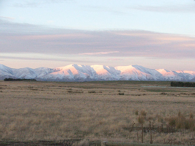
The Kakanui Range dominates the eastern horizon of the Maniototo Plain of New Zealand
Montane plains as seen in Horton Plains in Sri Lanka.
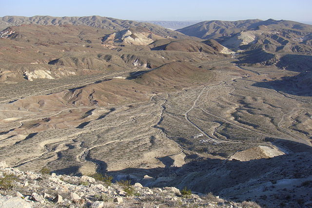
A small, incised alluvial plain from Red Rock Canyon State Park (California).
A flood plain in the Isle of Wight.


