Pennsylvania Route 73 (PA 73) is a 62.32-mile (100.29 km) long east–west state highway in southeastern Pennsylvania. It runs from PA 61 near Leesport southeast to the New Jersey state line on the Tacony–Palmyra Bridge over the Delaware River in Philadelphia, where the road continues south as New Jersey Route 73. The route passes through rural areas of Berks County, crossing U.S. Route 222 (US 222) in Maiden Creek before heading southeast through Oley and Boyertown. PA 73 continues into Montgomery County and intersects PA 100 in Gilbertsville and PA 29 in Schwenksville before it heads into the northwest suburbs of Philadelphia. The route passes through Skippack and intersects US 202 in Center Square, PA 309 in Springfield Township, and PA 611 near Jenkintown. PA 73 continues through Northeast Philadelphia on Cottman Avenue, crossing US 1 and US 13 before coming to an interchange with Interstate 95 (I-95) near the Tacony–Palmyra Bridge.
PA 73 westbound in Maidencreek Township
PA 73 eastbound in Gilbertsville
PA 73 westbound along Skippack Pike in Whitemarsh Township
PA 73 westbound in Springfield Township
Pennsylvania Route 61 is an 81.8-mile-long (131.6 km) state highway that is located in Pennsylvania in the United States. The route is signed on a north–south direction, running from U.S. Route 222 Business in Reading northwest to US 11/US 15/PA 147 in Shamokin Dam.
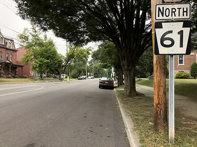
PA 61 northbound past Greenwich Street in Reading
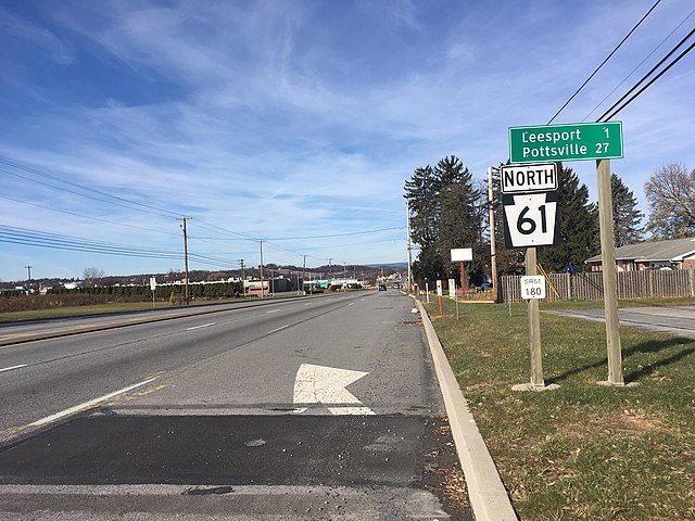
PA 61 northbound past PA 73 near Leesport
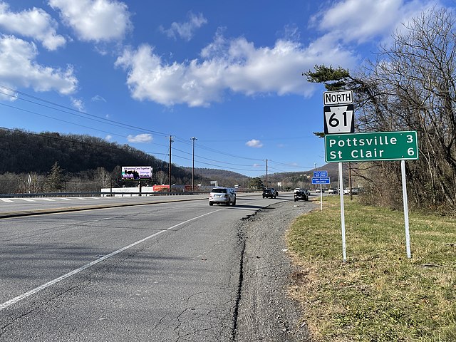
PA 61 northbound past PA 183 in North Manheim Township
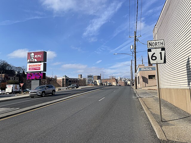
PA 61 northbound past US 209 in Pottsville


