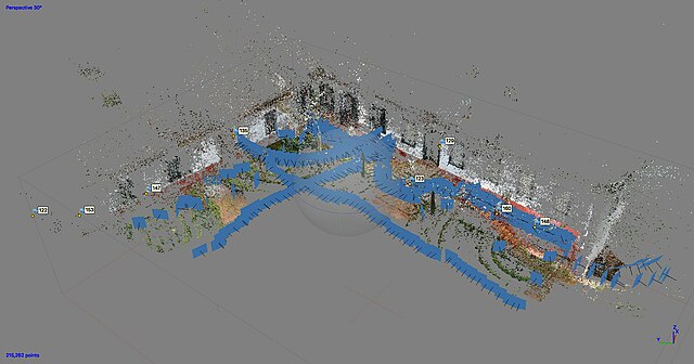
Photogrammetry is the science and technology of obtaining reliable information about physical objects and the environment through the process of recording, measuring and interpreting photographic images and patterns of electromagnetic radiant imagery and other phenomena.
Photogrammetry of the headquarters of Fazenda do Pinhal, São Carlos-SP, Brazil
Photogrammetry of the headquarters of Fazenda do Pinhal, São Carlos-SP, Brazil
Photograph of person using controller to explore a 3D photogrammetry experience, Future Cities by DERIVE, recreating Tokyo
Lidar is a method for determining ranges by targeting an object or a surface with a laser and measuring the time for the reflected light to return to the receiver. Lidar may operate in a fixed direction or it may scan multiple directions, in which case it is known as lidar scanning or 3D laser scanning, a special combination of 3-D scanning and laser scanning. Lidar has terrestrial, airborne, and mobile applications.
Lidar-derived image of Marching Bears Mound Group, Effigy Mounds National Monument
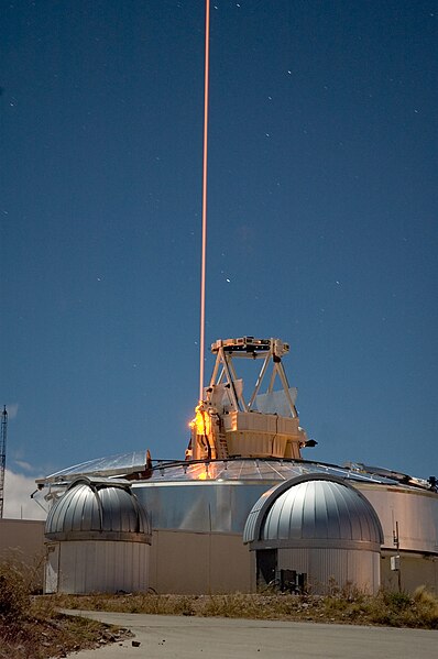
A frequency addition source of optical radiation (FASOR) used at the Starfire Optical Range for lidar and laser guide star experiments is tuned to the sodium D2a line and used to excite sodium atoms in the upper atmosphere.
This lidar may be used to scan buildings, rock formations, et cetera, to produce a 3D model. The lidar can aim its laser beam in a wide range: its head rotates horizontally; a mirror tilts vertically. The laser beam is used to measure the distance to the first object on its path.
Lidar scanning performed with a multicopter UAV


