The Piri Reis map is a world map compiled in 1513 by the Ottoman admiral and cartographer Piri Reis. Approximately one third of the map survives, housed in the Topkapı Palace in Istanbul. When rediscovered in 1929, the remaining fragment garnered international attention as it includes a partial copy of an otherwise lost map by Christopher Columbus.
Terra Australis, or the Southern Land, is depicted on Petrus Plancius's Orbis Terrarum of 1594 as a massive continent, spanning much of the southern hemisphere. Places discovered but little understood are depicted as the Northern edge of Terra Australis, including Tierra del Fuego south of the Americas and New Guinea.
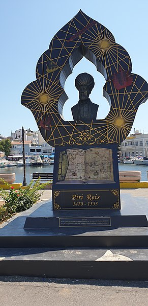
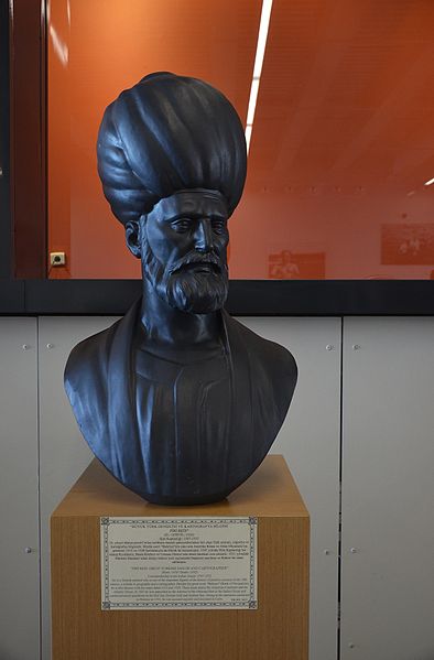
Ahmed Muhiddin Piri, better known as Piri Reis, was an Ottoman navigator, geographer and cartographer. He is primarily known today for his maps and charts collected in his Kitab-ı Bahriye, a book that contains detailed information on early navigational techniques as well as relatively accurate charts for their time, describing the important ports and cities of the Mediterranean Sea.
Statue of Piri Reis
Bust of Piri Reis in Gallipoli
Bust of Piri Reis in the Istanbul Naval Museum