Playa del Rey, Los Angeles
Playa del Rey is a seaside suburb in the Santa Monica Bay and the South Bay region of Los Angeles County, California. It has a ZIP code of 90293 and area codes of 310 and 424. As of 2018, the community had a population of 16,230 people.
Playa del Rey, Los Angeles
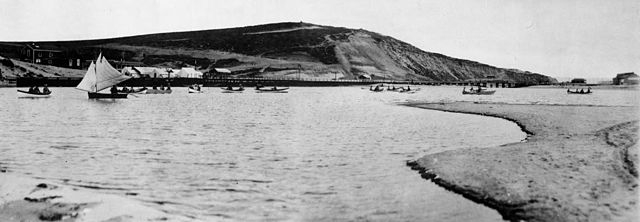
Playa del Rey: Ballona Wetlands and Creek, 1902
Playa del Rey lagoon, hotel, pavilion and pier, ca.1908
The historic Dickinson & Gillespie building, built in 1922 in a Spanish Colonial Revival style.
Santa Monica Bay is a bight of the Pacific Ocean in Southern California, United States. Its boundaries are slightly ambiguous, but it is generally considered to be the part of the Pacific within an imaginary line drawn between Point Dume, in Malibu, and the Palos Verdes Peninsula. Its eastern shore forms the western boundary of the Los Angeles Westside and South Bay regions. Although it was fed by the Los Angeles River until the river's catastrophic change of course in 1825, the only stream of any size now flowing into it is Ballona Creek. Smaller waterways draining into the bay include Malibu Creek, Topanga Creek, and Santa Monica Creek.
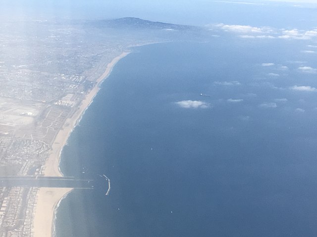
Santa Monica Bay, aerial view