Pollards Hill
Videos
Pollards Hill is a small residential district straddling the south London boroughs of Croydon and Merton between Mitcham, Norbury and Thornton Heath. The boundary of the two boroughs is a street named Recreation Way. No roads directly cross the Croydon/Merton divide, and streets were planned according to each borough, leading to differing architectural or building schemes. Pollards Hill lends its name to a ward of the London Borough of Merton.

Typical homes in Pollards Hill, London Borough of Merton
London Borough of Croydon
Videos
The London Borough of Croydon is a London borough in south London, part of Outer London. It covers an area of 87 km2 (33.6 sq mi). It is the southernmost borough of London. At its centre is the historic town of Croydon from which the borough takes its name; while other urban centres include Coulsdon, Purley, South Norwood, Norbury, New Addington, Selsdon and Thornton Heath. Croydon is mentioned in Domesday Book, and from a small market town has expanded into one of the most populous areas on the fringe of London. The borough is now one of London's leading business, financial and cultural centres, and its influence in entertainment and the arts contribute to its status as a major metropolitan centre. Its population is 390,719, making it the largest London borough and sixteenth largest English district.

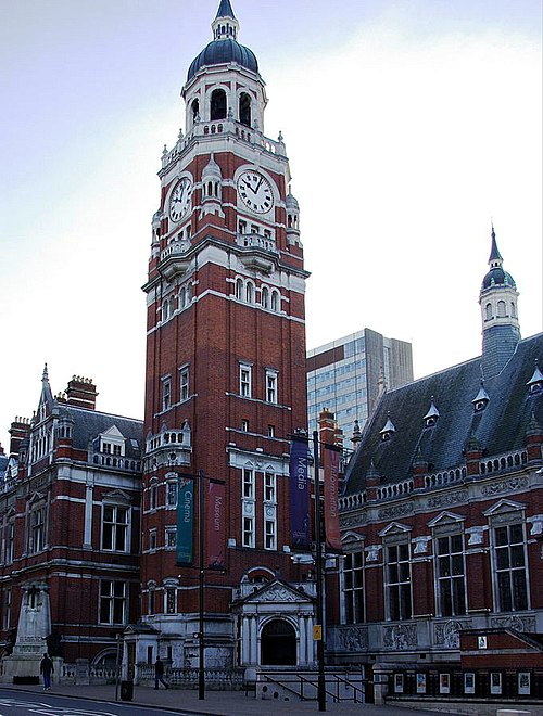
Croydon Town Hall

Croydon Council's offices were in Taberner House until September 2013

Bernard Weatherill House, home to Croydon Council from September 2013