The Pomona Valley is located in the Greater Los Angeles Area between the San Gabriel Valley and San Bernardino Valley in Southern California. The valley is approximately 30 miles (48 km) east of downtown Los Angeles.
1910 postcard image of Pomona, California with Mount San Antonio (Mt. Baldy) in distance.
Pomona Valley from Diamond Ranch High School
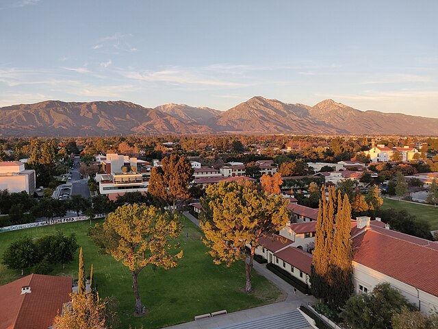
The Claremont Colleges
The San Gabriel Valley, often referred to by its initials as SGV, is one of the principal valleys of Southern California, with the city of Los Angeles directly bordering it to the west, and occupying the vast majority of the southeastern part of Los Angeles County. Surrounding landforms and other features include the following:the San Gabriel Mountains to the north;
the San Rafael Hills to the west, with the Los Angeles Basin beyond;
the Crescenta Valley to the northwest;
the Puente Hills to the south, with the coastal plain of Orange County beyond;
the Chino Hills and San Jose Hills to the east, with the Pomona Valley and Inland Empire beyond; and
the city limits of Los Angeles, bordering its western edge.
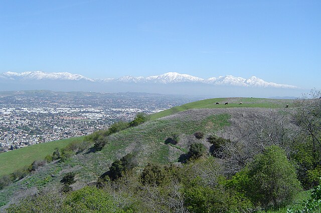
Looking north from the Puente Hills above Rowland Heights
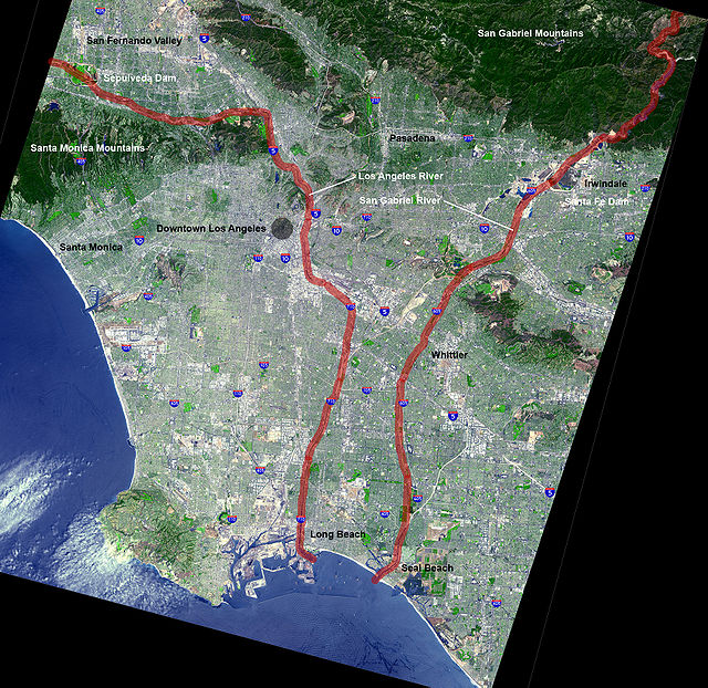
Los Angeles River, highlighted in red (on the left). The San Gabriel River is highlighted in red on the right.
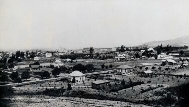
Whittier, California, late 19th century
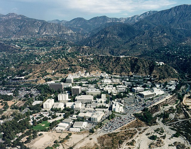
The Jet Propulsion Laboratory complex in La Cañada Flintridge. Courtesy NASA/JPL-Caltech.


