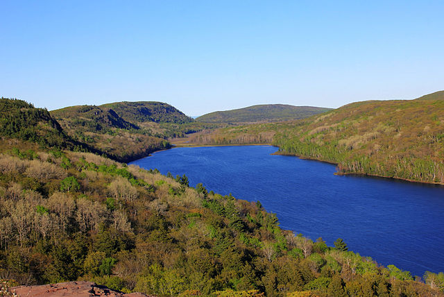
The Porcupine Mountains, or Porkies, are a group of small mountains spanning the northwestern Upper Peninsula of Michigan in Ontonagon and Gogebic counties, near the shore of Lake Superior. The Porcupine Mountains were named by the native Ojibwa people, supposedly because their silhouette had the shape of a crouching porcupine. They are home to the most extensive stand of old growth northern hardwood forest in North America west of the Adirondack Mountains, spanning at least 31,000 acres (13,000 ha). The area is popular among tourists, especially Lake of the Clouds in the heart of the mountains, and is part of Porcupine Mountains Wilderness State Park.
A vista in the Porcupine Mountains
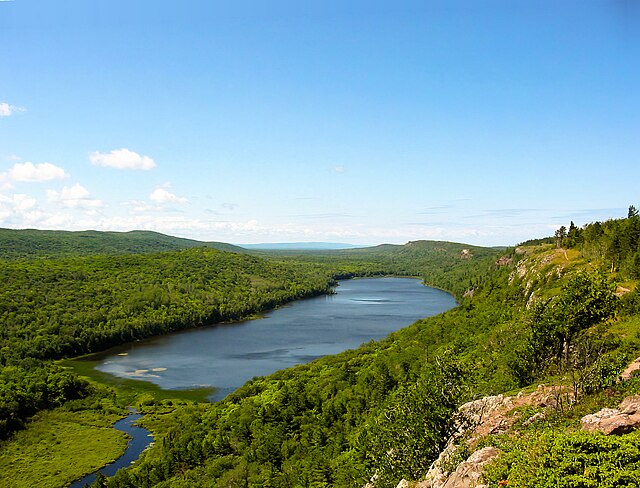
Lake of the Clouds.
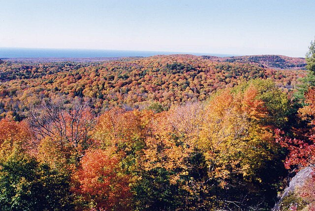
Autumn color and Lake Superior.
Upper Peninsula of Michigan
The Upper Peninsula of Michigan—also known as Upper Michigan or colloquially the U.P.—is the northern and more elevated of the two major landmasses that make up the U.S. state of Michigan; it is separated from the Lower Peninsula by the Straits of Mackinac. It is bounded primarily by Lake Superior to the north, separated from the Canadian province of Ontario at the east end by the St. Marys River, and flanked by Lake Huron and Lake Michigan along much of its south. Although the peninsula extends as a geographic feature into the state of Wisconsin, the state boundary follows the Montreal and Menominee rivers and a line connecting them.
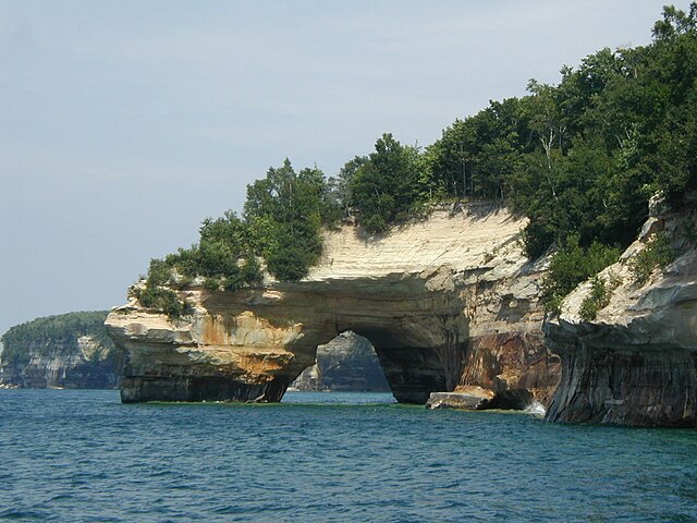
Image: Pictured Rocks National Lakeshore arch
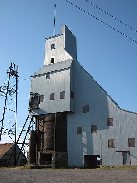
Image: Quincy Mine Shaft House
Image: Gfp michigan porcupine mountains state park full view of lake of the clouds
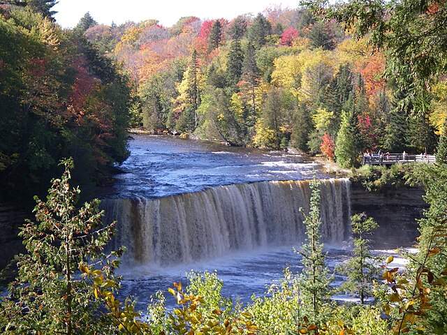
Image: Upper Tahquamenon Falls Fall 2007


